Pioneer Shire Council Building, Mackay

Gallery (1)
Map
Map
Facts and practical information
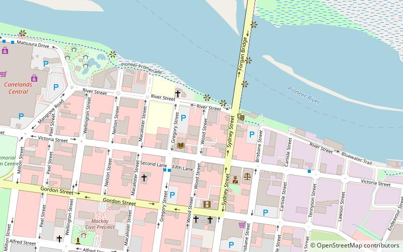
Pioneer Shire Council Building is a heritage-listed town hall at 1 Wood Street, Mackay, Mackay Region, Queensland, Australia. It was designed by Harold Vivian Marsh Brown and built in 1935 by William Patrick Guthrie. It was added to the Queensland Heritage Register on 7 December 2007. ()
Built: 1935 (91 years ago)Coordinates: 21°8'24"S, 149°11'10"E
Address
Mackay
ContactAdd
Social media
Add
Day trips
Pioneer Shire Council Building – popular in the area (distance from the attraction)
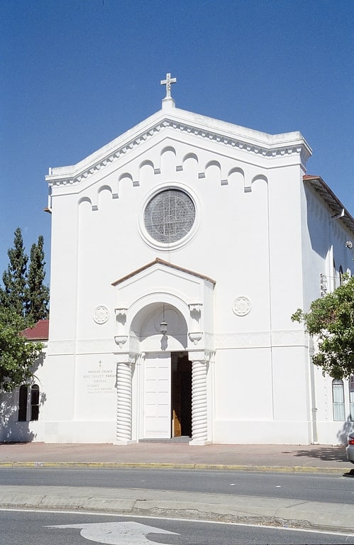
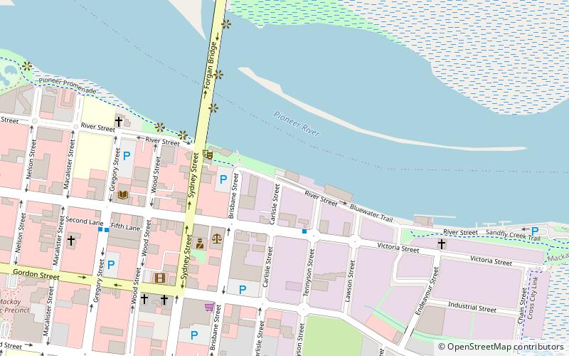
Nearby attractions include: Caneland Central, Holy Trinity Church, World War I Cenotaph, St Pauls Uniting Church.


Frequently Asked Questions (FAQ)
Which popular attractions are close to Pioneer Shire Council Building?
Nearby attractions include St Pauls Uniting Church, Mackay (5 min walk), Mackay Police Station, Mackay (6 min walk), Forgan Bridge, Mackay (6 min walk), WH Paxton & Co. Buildings, Mackay (7 min walk).