Great Western Tiers, Central Plateau Conservation Area
Map

Gallery

Facts and practical information
The Great Western Tiers are a collection of mountain bluffs that form the northern edge of the Central Highlands plateau in Tasmania, Australia. The bluffs are contained within the Tasmanian Wilderness World Heritage Site. ()
Alternative names: Maximum elevation: 328084 ftElevation: 4738 ftCoordinates: 41°42'36"S, 146°28'12"E
Address
Central Plateau Conservation Area
ContactAdd
Social media
Add
Day trips
Great Western Tiers – popular in the area (distance from the attraction)
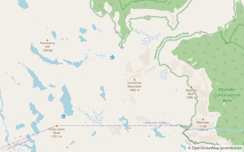
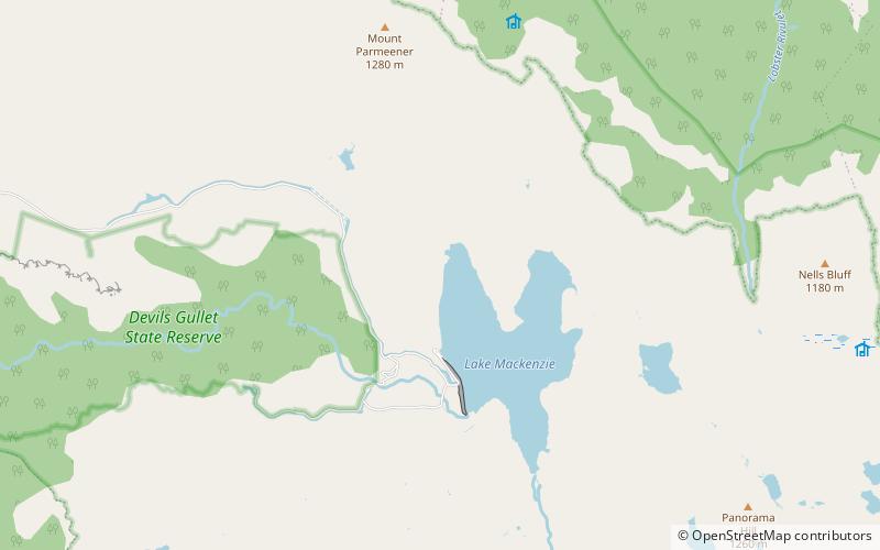
Nearby attractions include: Mother Cummings Peak, Ironstone Mountain, Lake Mackenzie, Forty Lake Peak.


