High Street, Perth
Facts and practical information
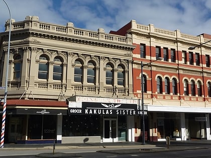
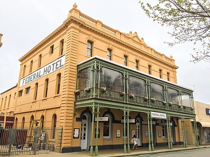
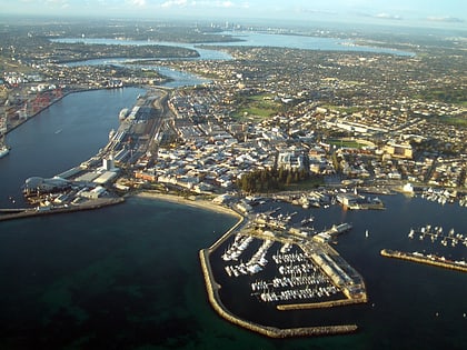
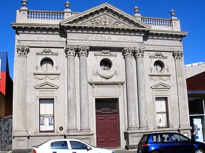
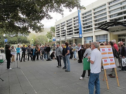
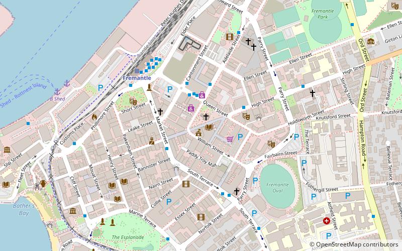
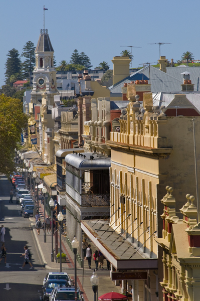
High Street is the main street running through the City of Fremantle, Western Australia. The street passes by historic landmarks, including the Round House, the Fremantle Town Hall, and the Fremantle War Memorial, through the Fremantle West End Heritage area and through two town squares. Trams operated along High Street for 47 years, between 1905 and 1952. Running east–west, High Street continues as Leach Highway, a major arterial road, at Stirling Highway, linking Fremantle with Perth Airport although the stretch of road between Stirling Highway and Carrington Street is known locally—and signed—as High Street. ()
High StFremantlePerth 6160
High Street – popular in the area (distance from the attraction)
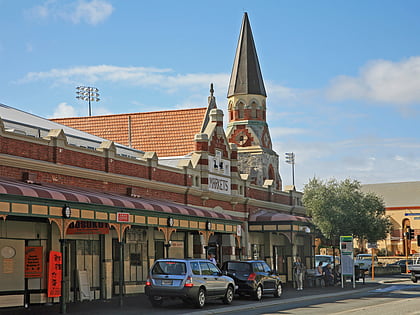
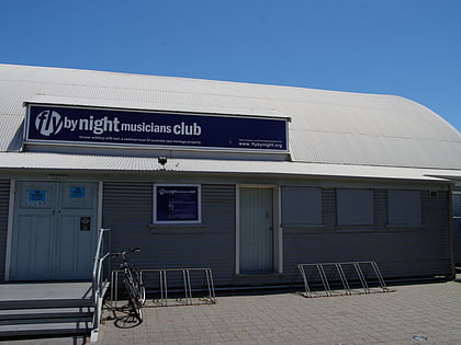
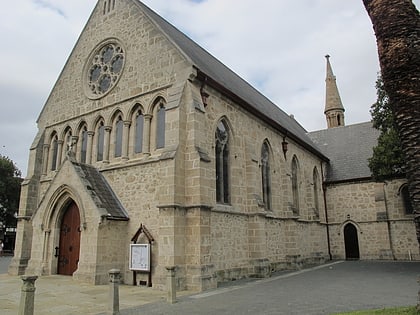
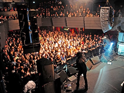
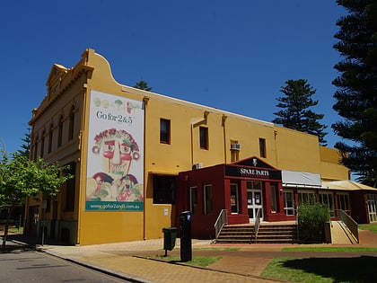
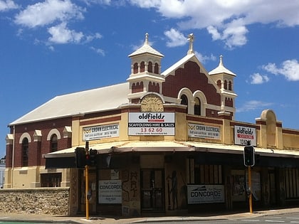
Nearby attractions include: Fremantle Markets, Fly by Night Club, St John's Anglican Church, Metropolis Fremantle.
Frequently Asked Questions (FAQ)
Which popular attractions are close to High Street?
How to get to High Street by public transport?
Bus
- Queen Street Shopping Precinct • Lines: 6 (2 min walk)
- Woolstores Shopping Centre • Lines: 6 (3 min walk)
Train
- Fremantle (6 min walk)
Ferry
- B Shed • Lines: Express, SeaLink (10 min walk)
- Northport Rous Head • Lines: Express (28 min walk)
