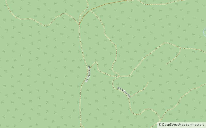
Amamoor Forest Reserve
Map

Map

Facts and practical information
The Amamoor State Forest and Forest Reserve is a riverine rainforest in the Gympie Region in Queensland, Australia. The forest is composed of subtropical vegetation dominated by stands of Melia azedarach, Toona ciliata, Araucaria cunninghamii and A. bidwillii. The Amamoor creek within the reserve is noted as a habitat for the platypus and several species of endangered frogs. The park station is located on Amamoor Creek Road about 180 kilometers north of the state capital of Brisbane and 20 kilometres southwest of the town of Gympie. This area has a subtropical climate. The elevation of the terrain is 226 meters. ()
Elevation: 673 ft a.s.l.Coordinates: 26°22'38"S, 152°34'30"E
Location
Queensland
ContactAdd
Social media
Add
