Dunwich Benevolent Asylum, North Stradbroke Island

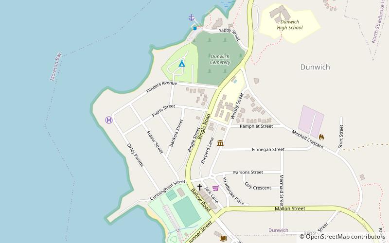
Map
Facts and practical information
The Dunwich Benevolent Asylum was a Benevolent Asylum for the aged, infirm and destitute operated by the Queensland Government in Australia. It was located at Dunwich on North Stradbroke Island in Moreton Bay and operated from 1865 to 1946. ()
Coordinates: 27°29'49"S, 153°24'11"E
Address
North Stradbroke Island
ContactAdd
Social media
Add
Day trips
Dunwich Benevolent Asylum – popular in the area (distance from the attraction)
Nearby attractions include: Dunwich Cemetery, North Stradbroke Island Historical Museum, Dunwich Public Reserve, St Mark's Anglican Church and Dunwich Public Hall.
Frequently Asked Questions (FAQ)
Which popular attractions are close to Dunwich Benevolent Asylum?
Nearby attractions include North Stradbroke Island Historical Museum, North Stradbroke Island (3 min walk), Dunwich Cemetery, North Stradbroke Island (5 min walk), St Mark's Anglican Church and Dunwich Public Hall, North Stradbroke Island (7 min walk), Dunwich Public Reserve, North Stradbroke Island (7 min walk).


