Mount Henry Bridge, Perth
Map
Map

Facts and practical information
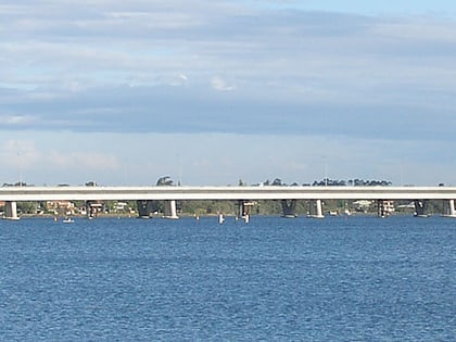
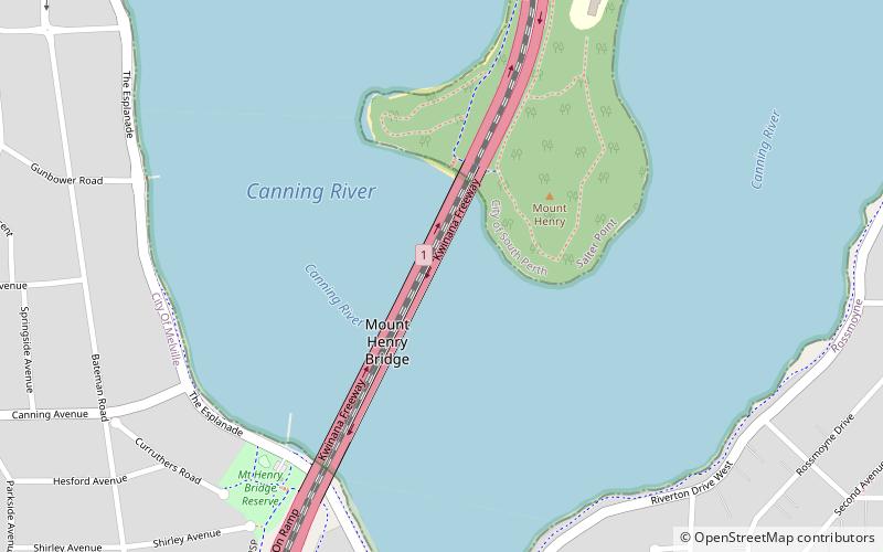
The Mount Henry Bridge carries the Kwinana Freeway and Mandurah railway line over the Canning River in Perth, approximately 10 kilometres south of the Perth central business district. At 660 metres long, it is the longest road bridge in Western Australia. It spans the river between the Mount Henry Peninsula and the suburb of Brentwood. ()
Coordinates: 32°1'60"S, 115°51'32"E
Address
Kwinana FwyPerth
ContactAdd
Social media
Add
Day trips
Mount Henry Bridge – popular in the area (distance from the attraction)
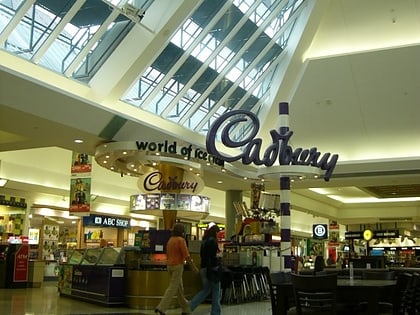
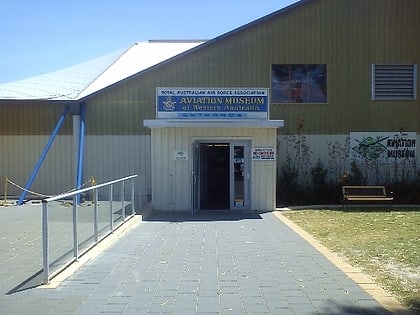
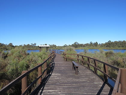
Nearby attractions include: Westfield Booragoon, Aviation Heritage Museum, Booragoon Lake, Mount Henry Peninsula.
Frequently Asked Questions (FAQ)
Which popular attractions are close to Mount Henry Bridge?
Nearby attractions include Mount Henry Peninsula, Perth (4 min walk), Aquinas College Chapel, Perth (17 min walk).
How to get to Mount Henry Bridge by public transport?
The nearest stations to Mount Henry Bridge:
Train
Train
- Bull Creek (26 min walk)
