Pelion Range, Tasmanian Wilderness World Heritage Area
#38 among attractions in Tasmanian Wilderness World Heritage Area

Facts and practical information
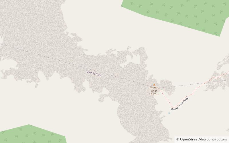
The Pelion Range is a mountain range in the Cradle Mountain-Lake St Clair National Park, Tasmania, Australia. ()
Tasmanian Wilderness World Heritage Area Australia
Pelion Range – popular in the area (distance from the attraction)
Nearby attractions include: Mount Ossa, New Pelion Hut, Mount Oakleigh, Cradle Mountain-Lake St Clair National Park.
 Nature, Natural attraction, Mountain
Mount Ossa, Tasmanian Wilderness World Heritage Area
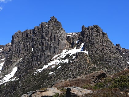
5 min walk • Mount Ossa is the highest mountain in Tasmania, with a summit elevation of 1,617 metres above sea level. It makes up part of the Pelion Range within Cradle Mountain-Lake St Clair National Park in the Central Highlands region of Tasmania, Australia.
 Hiking, Alpine hut
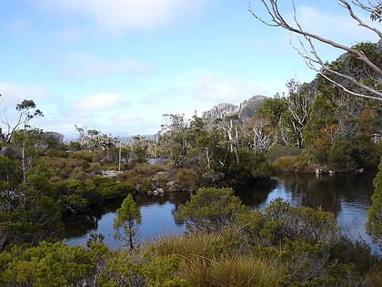
New Pelion Hut, Tasmanian Wilderness World Heritage Area
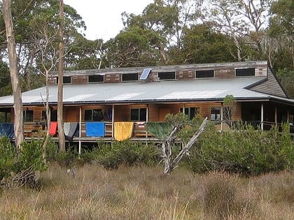
73 min walk • New Pelion Hut is the largest alpine hut in the Cradle Mountain-Lake St Clair National Park in the Central Highlands of Tasmania...
 Natural attraction, Protected area
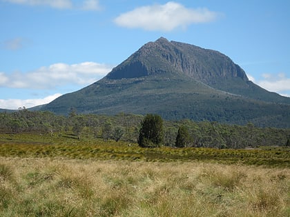
Cradle Mountain-Lake St Clair National Park, Tasmanian Wilderness World Heritage Area
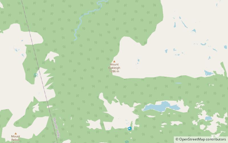
100 min walk • Cradle Mountain-Lake St Clair National Park is located in the Central Highlands area of Tasmania, 165 kilometres northwest of Hobart. The park contains many walking trails, and is where hikes along the well-known Overland Track usually begin.
 Nature, Natural attraction, Mountain
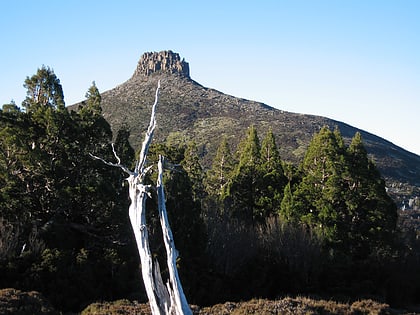
Mount Pelion West, Tasmanian Wilderness World Heritage Area
106 min walk • Mount Pelion West is a mountain located in the Central Highlands region of Tasmania, Australia. The mountain is part of the Pelion Range and is situated within the Cradle Mountain-Lake St Clair National Park at the easternmost boundary of the Murchison River catchment.
 Nature, Natural attraction, Mountain
Mount Pelion East, Tasmanian Wilderness World Heritage Area
53 min walk • Mount Pelion East is a mountain located in the Central Highlands region of Tasmania, Australia. The mountain is situated within the Cradle Mountain-Lake St Clair National Park.
 Nature, Natural attraction, Mountain
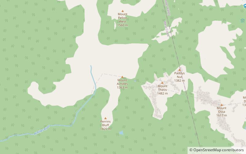
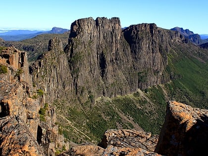
Mount Achilles, Tasmanian Wilderness World Heritage Area
71 min walk • Mount Achilles is a mountain that is part of the Du Cane Range, located in the Cradle Mountain-Lake St Clair National Park in Tasmania, Australia. With an elevation of 1,353 metres above sea level, the peak is the 46th highest mountain in Tasmania.
 Nature, Natural attraction, Mountain
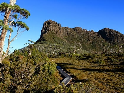
Mount Geryon, Tasmanian Wilderness World Heritage Area
92 min walk • Mount Geryon is a mountain in the Central Highlands region of the Australian state of Tasmania. The mountain is part of the Du Cane Range and is situated within the Cradle Mountain-Lake St Clair National Park.
 Nature, Natural attraction, Mountain
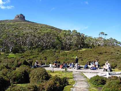
The Acropolis Mountain, Tasmanian Wilderness World Heritage Area
113 min walk • The Acropolis is a mountain in the Central Highlands region of Tasmania, Australia. Situated in the Cradle Mountain-Lake St Clair National Park, the mountain is part of the Du Cane Range.
 Nature, Natural attraction, Mountain pass
Pelion Gap, Tasmanian Wilderness World Heritage Area
40 min walk • Pelion Gap is the mountain pass between Mount Doris and Mount Ossa to the south and Mount Pelion East to the north through which the Overland Track in Tasmania passes.
 Nature, Natural attraction, Mountain
Castle Crag, Tasmanian Wilderness World Heritage Area
106 min walk • The Castle Crag, also known as the Falling Mountain, is a mountain in the Central Highlands region of Tasmania, Australia. The mountain is part of the Du Cane Range and is situated within the Cradle Mountain-Lake St Clair National Park.
