Toolbrunup, Stirling Range National Park

Gallery (1)
Map
Map
Facts and practical information
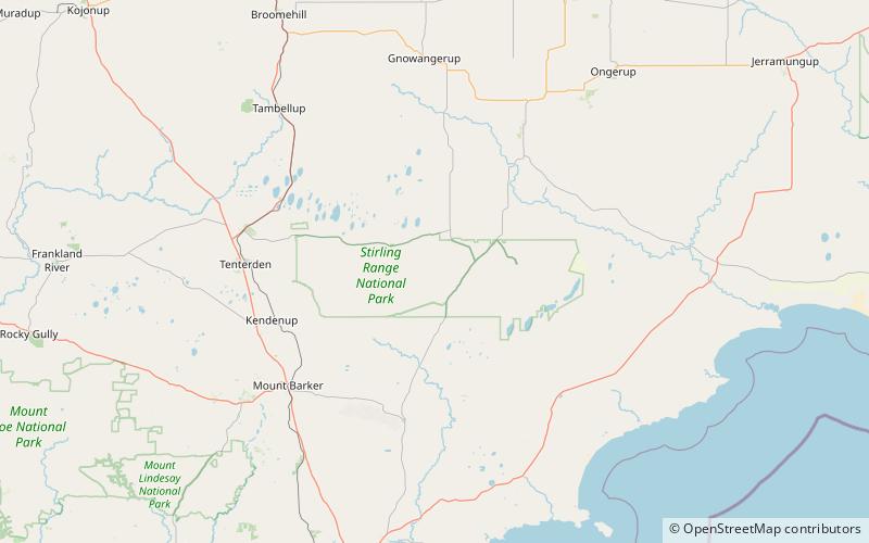
Toolbrunup is among the highest peaks in the Stirling Ranges of Australia. Toolbrunup is made from sediments deposited during the Ediacaran Period and later metamorphosed to quartzites and shales. These formation rocks were later folded during basement rock movement. ()
Address
Stirling Range National Park
ContactAdd
Social media
Add