Mulwala Bridge, Yarrawonga-Mulwala
Map

Map

Facts and practical information
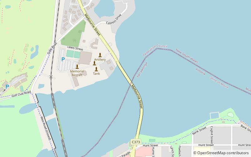
The Mulwala Bridge is a road bridge over Lake Mulwala, formed by a weir on the Murray River, on the state border between New South Wales and Victoria in Australia. The bridge links the border towns of Yarrawonga in Victoria and Mulwala in New South Wales. The bridge was built in 1924 and designed by Percy Allan using a Pratt truss. ()
Coordinates: 36°0'15"S, 146°0'14"E
Address
Yarrawonga-Mulwala
ContactAdd
Social media
Add
Day trips
Mulwala Bridge – popular in the area (distance from the attraction)
Nearby attractions include: Tunzafun Mulwala, Lake Mulwala, Yarrawonga Mulwala Historical Society.


