Gippsland Lakes, The Lakes National Park
Map

Map

Facts and practical information
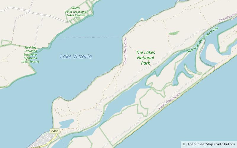
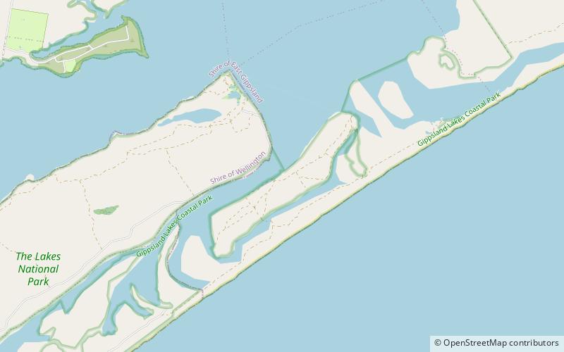
The Gippsland Lakes are a network of coastal lakes, marshes and lagoons in East Gippsland, Victoria, Australia covering an overall area of about 354 km2 between the rural towns of Lakes Entrance, Bairnsdale and Sale. The largest of the lakes are Lake Wellington, Lake King and Lake Victoria. The lakes are collectively fed by the Avon, Thomson, Latrobe, Mitchell, Nicholson and Tambo Rivers, and drain into the Bass Strait through a short canal about 2 km southwest of Lakes Entrance town center. ()
Day trips
Gippsland Lakes – popular in the area (distance from the attraction)
Nearby attractions include: Rotamah Island Bird Observatory, Loch Sport.


