Glenelg, Adelaide
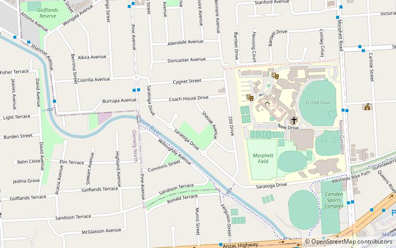
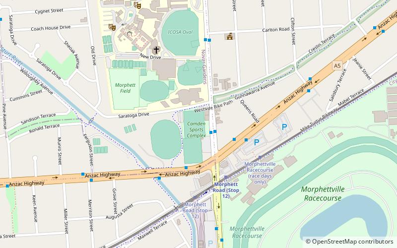
Map
Gallery
Facts and practical information
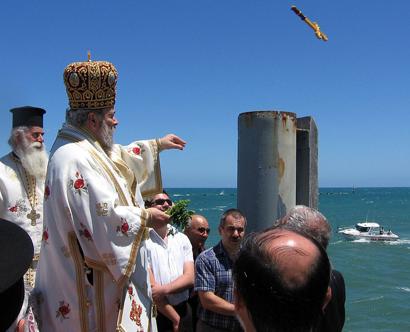
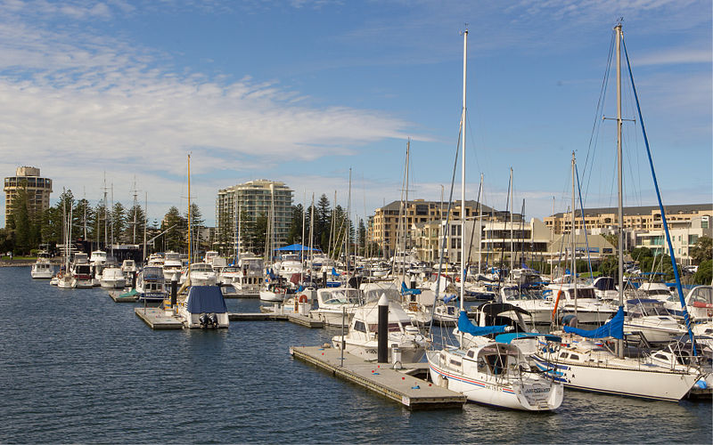
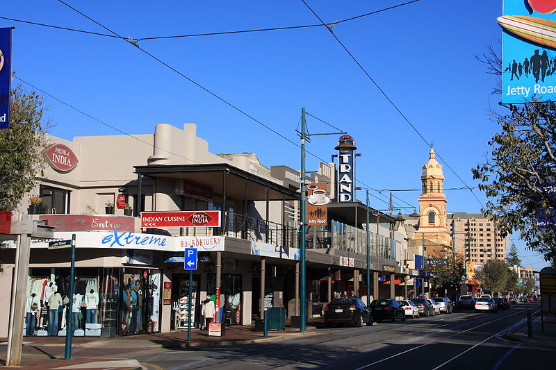
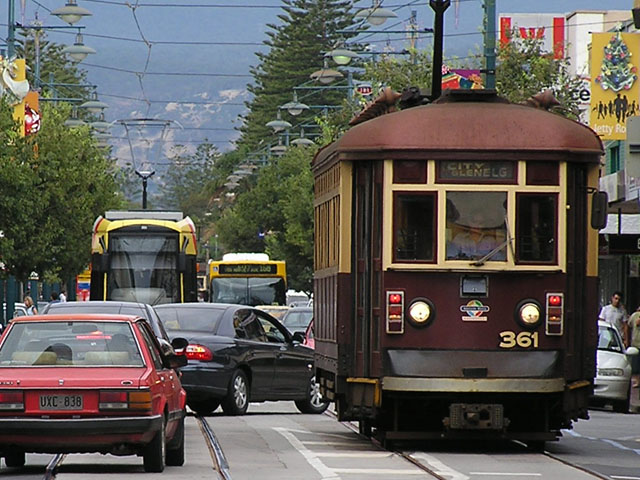
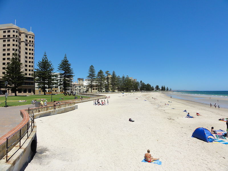
Glenelg is a beach-side suburb of the South Australian capital of Adelaide. Located on the shore of Holdfast Bay in Gulf St Vincent, it has become a tourist destination due to its beach and many attractions, home to several hotels and dozens of restaurants. ()
Alternative names: Established: 1836 (190 years ago)Area: 217.45 acres (0.3398 mi²)Coordinates: 34°58'43"S, 138°30'58"E
Address
GlenelgAdelaide
ContactAdd
Social media
Add
Day trips
Glenelg – popular in the area (distance from the attraction)
Nearby attractions include: The Beachouse, Moseley Square, Cummins House, The Old Gum Tree.
Frequently Asked Questions (FAQ)
Which popular attractions are close to Glenelg?
Nearby attractions include Moseley Square, Adelaide (7 min walk), The Beachouse, Adelaide (8 min walk), Bay Discovery Centre, Adelaide (8 min walk), Glenelg North, Adelaide (14 min walk).
How to get to Glenelg by public transport?
The nearest stations to Glenelg:
Tram
Bus
Tram
- Jetty Road (3 min walk)
- Moseley Square (7 min walk)
Bus
- Glenelg Interchange (6 min walk)


