Boggo Road Gaol, Brisbane
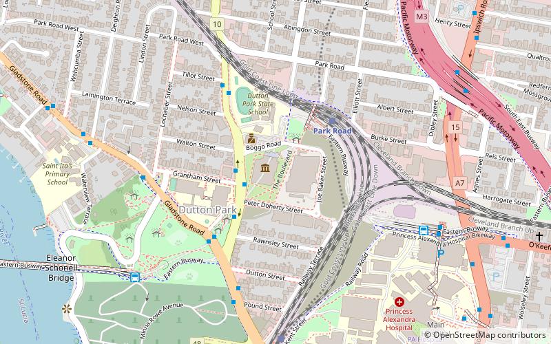
Map

Map

Facts and practical information
Boggo Road Gaol in Brisbane, Australia, was Queensland’s main jail from the 1880s to the 1980s, by which time it had become notorious for poor conditions and rioting. Located on Annerley Road in Dutton Park, an inner southern suburb of Brisbane, it is the only surviving intact gaol in Queensland that reflects penological principles of the 19th century. After closing in 1992, the larger 1960s section was demolished, leaving the heritage listed section, which is open to the public through guided tours run by Boggo Road Gaol Pty Ltd. ()
Opened: 1883 (143 years ago)Closed: 1989Coordinates: 27°29'43"S, 153°1'44"E
Day trips
Boggo Road Gaol – popular in the area (distance from the attraction)
Nearby attractions include: South Bank Parklands, Queensland Maritime Museum, Kangaroo Point Cliffs, The Gabba.
Frequently Asked Questions (FAQ)
Which popular attractions are close to Boggo Road Gaol?
Nearby attractions include Gair Park, Brisbane (5 min walk), Dutton Park, Brisbane (5 min walk), Hefferan Park Air Raid Shelter, Brisbane (10 min walk), South Brisbane Cemetery, Brisbane (10 min walk).
How to get to Boggo Road Gaol by public transport?
The nearest stations to Boggo Road Gaol:
Bus
Train
Ferry
Bus
- Boggo Road busway station (3 min walk)
- Boggo Road busway (4 min walk)
Train
- Park Road (4 min walk)
- Dutton Park (9 min walk)
Ferry
- UQ St Lucia Ferry Terminal • Lines: Uqsl-1410 (15 min walk)
- Maritime Museum Ferry Terminal • Lines: Chop-400 (24 min walk)


