Narrow Neck Plateau, Blue Mountains National Park

Gallery (2)
Map
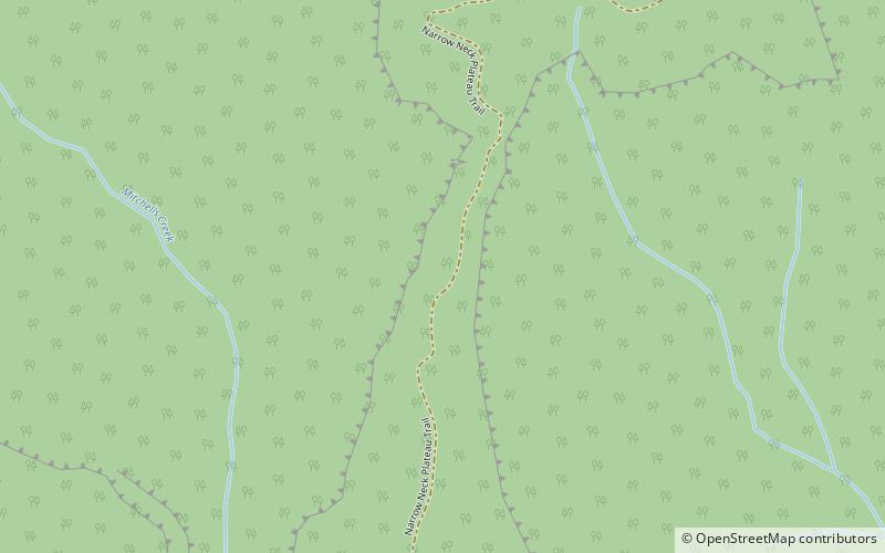
Map
Gallery
Facts and practical information
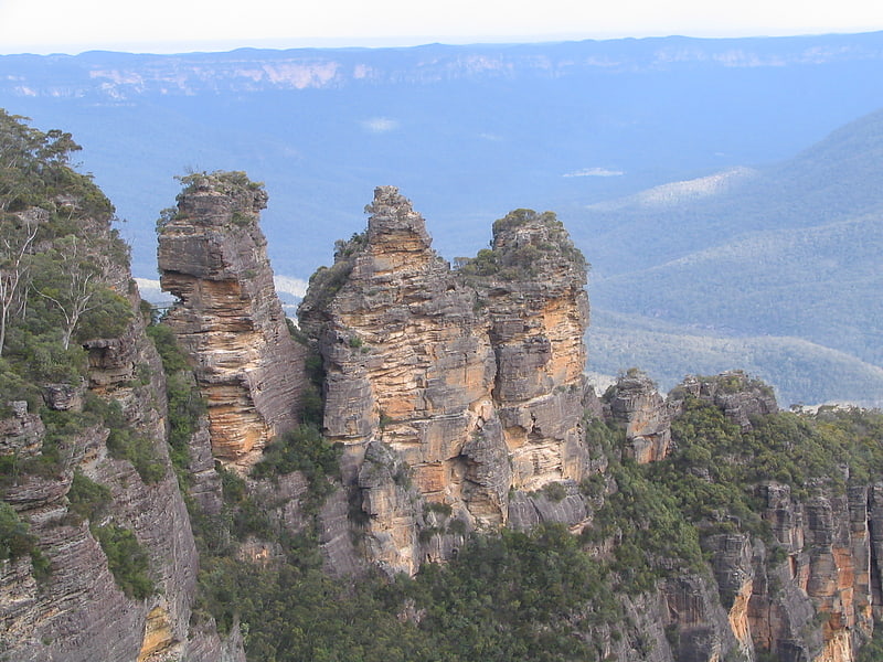
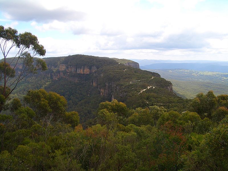
The Narrow Neck Plateau, an eroded remnant of a sandstone layer situated at an elevation of 1,000 metres above sea level that is part of the Blue Mountains Range which is a spur line off the Great Dividing Range, is situated immediately south-west of Katoomba in New South Wales, Australia, located within the Blue Mountains National Park. The neck separates the Jamison Valley from the Megalong Valley. ()
Elevation: 3281 ftCoordinates: 33°45'37"S, 150°15'54"E
Address
Blue Mountains National Park
ContactAdd
Social media
Add
Day trips