Lake Ginninderra, Canberra
Map
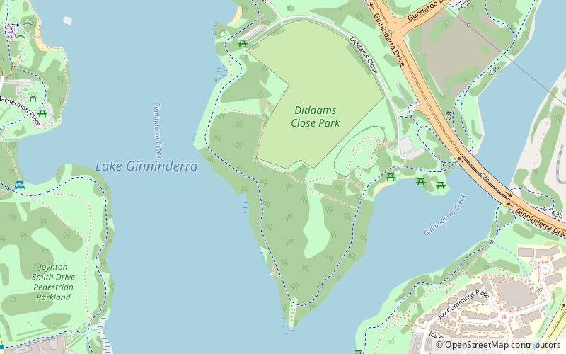
Map

Facts and practical information
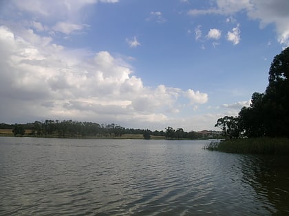
Lake Ginninderra is an artificial lake located on the Ginninderra Creek in Canberra. It is adjacent to the Belconnen Town Centre. The lake was constructed in 1974 to collect stormwater discharge from a 98.8 square kilometres catchment that includes the surrounding suburbs of Aranda, Macquarie, Cook, Bruce, Belconnen, McKellar, Giralang, Kaleen in the eastern areas of Belconnen. ()
Alternative names: Area: 0.41 mi²Average depth: 11 ftElevation: 1929 ft a.s.l.Coordinates: 35°13'46"S, 149°4'16"E
Address
BelconnenCanberra
ContactAdd
Social media
Add
Day trips
Lake Ginninderra – popular in the area (distance from the attraction)
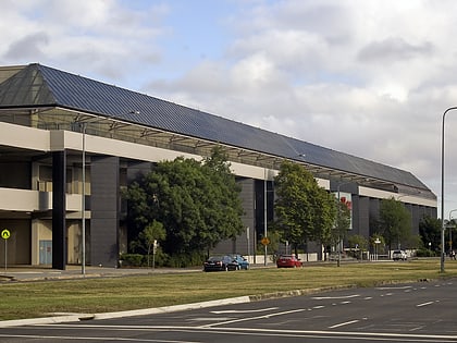
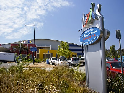
Nearby attractions include: Westfield Belconnen, Canberra International Sports & Aquatic Centre, McKellar Park, Belconnen.
Frequently Asked Questions (FAQ)
Which popular attractions are close to Lake Ginninderra?
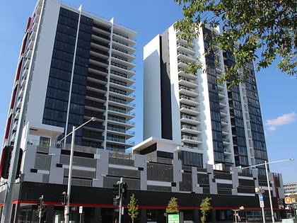
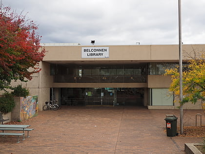
Nearby attractions include Belconnen (12 min walk), Belconnen, Canberra (16 min walk), Belconnen Library, Canberra (17 min walk), Belconnen Town Centre (17 min walk).
How to get to Lake Ginninderra by public transport?
The nearest stations to Lake Ginninderra:
Bus
Bus
- Belconnen Community Station Platform 3 • Lines: 30 (19 min walk)
- Belconnen Community Bus Station (19 min walk)
