Lamb Island Pioneer Hall, Lamb Island
Map

Map

Facts and practical information
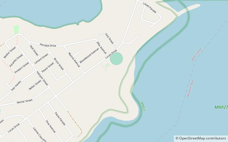
Lamb Island Pioneer Hall is a heritage-listed former house and now community hall at Lucas Drive, Lamb Island, City of Redland, Queensland, Australia. It was built from c. 1924 to 1930s. It was added to the Queensland Heritage Register on 3 April 1995. ()
Coordinates: 27°37'29"S, 153°23'2"E
Address
Lamb Island
ContactAdd
Social media
Add
Day trips
Lamb Island Pioneer Hall – popular in the area (distance from the attraction)
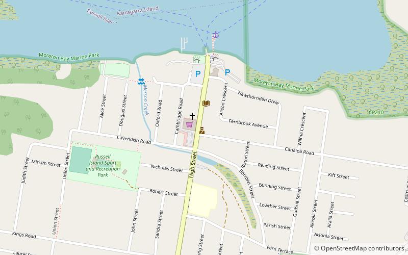
Nearby attractions include: Serpentine Creek Road Cemetery, Naree Budjong Djara National Park, Coochiemudlo Island, Russell Island.


