Mount Buggery, Alpine National Park

Gallery (1)
Map
Map
Facts and practical information
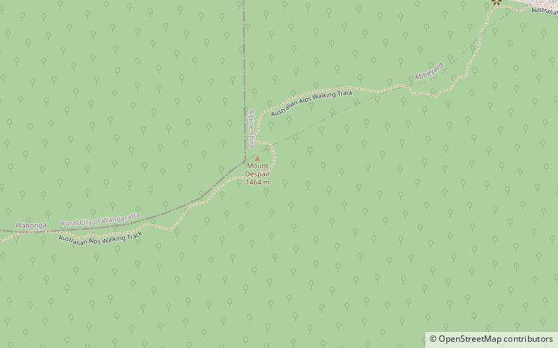
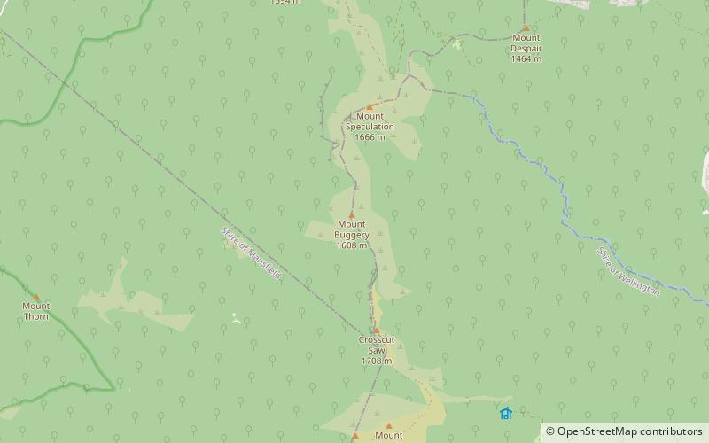
Mount Buggery is a mountain located in the Alpine Shire within the Alpine National Park in the alpine region of Victoria, Australia. The mountain is located on the end of a ridgeline known as the Crosscut Saw between Mount Speculation and Mount Howitt, both located 4 kilometres to the south of Mount Buggery. ()
Coordinates: 37°8'33"S, 146°38'28"E
Address
Alpine National Park
ContactAdd
Social media
Add
Day trips