Centenary Place, Brisbane

Gallery (6)
Map

Map

Gallery
Facts and practical information
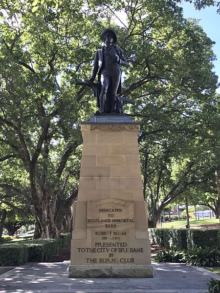
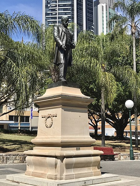
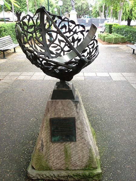
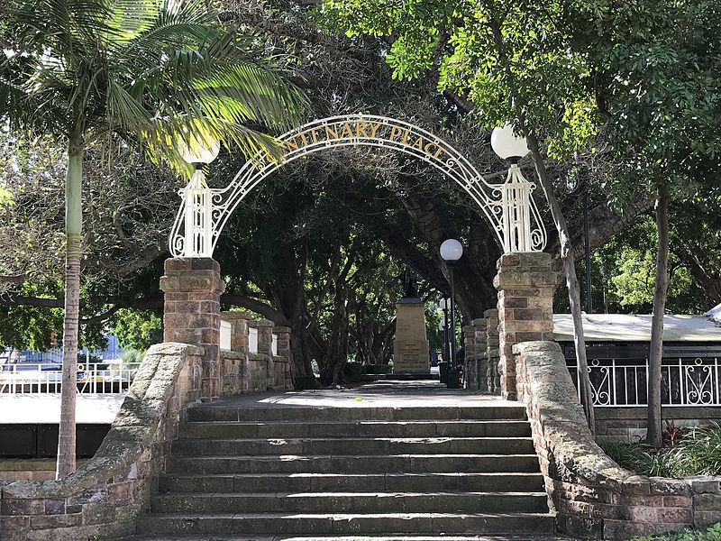
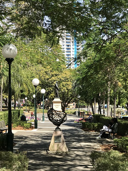
Centenary Place is a heritage-listed park at 85 Wickham Street, Fortitude Valley, City of Brisbane, Queensland, Australia. It is also known by some as Centenary Park even though this is not the name it was given at the ceremonial dedication. It was designed by Henry Moore. It was added to the Queensland Heritage Register on 6 August 2007. ()
Elevation: 89 ft a.s.l.Coordinates: 27°27'39"S, 153°1'55"E
Address
85 Wickham St.Spring HillBrisbane 4006
ContactAdd
Social media
Add
Getting there by public transportation
Public transportation stops near this location
- Bus
- Train
- Ferry
 Bus
Bus
- Calculate routeAnn Street stop 218 at All Hallows 3 min walk
- Calculate routeWickham Street Stop 225 near Little St 4 min walk
- Calculate routeQueen Street Stop 67 near Ann St 4 min walk
- Calculate routeHolman Street Ferry Terminal 9 min walk
- Calculate routeEagle Street Pier Ferry Terminal 14 min walk
- Calculate routeThornton Street Ferry Terminal 19 min walk
- Calculate routeDockside Ferry Terminal 24 min walk
- Calculate routeFortitude Valley 10 min walk
- Calculate routeCentral 13 min walk
- Calculate routeExhibition 21 min walk
- Calculate routeRoma Street 23 min walk
Day trips
Centenary Place – popular in the area (distance from the attraction)
Nearby attractions include: Fortitude Valley, McWhirters, Brunswick Street Mall, Customs House.


Frequently Asked Questions (FAQ)
Which popular attractions are close to Centenary Place?
Nearby attractions include Mercy Heritage Centre Brisbane, Brisbane (2 min walk), Ann Street, Brisbane (2 min walk), Soleil, Brisbane (3 min walk), Skyline, Brisbane (4 min walk).
How to get to Centenary Place by public transport?
The nearest stations to Centenary Place:
Bus
Ferry
Train
Bus
- Ann Street stop 218 at All Hallows • Lines: 204 (3 min walk)
- Wickham Street Stop 225 near Little St • Lines: 470 (4 min walk)
Ferry
- Holman Street Ferry Terminal • Lines: Chop-400, Xrvr-400 (9 min walk)
- Eagle Street Pier Ferry Terminal • Lines: Chop-400, Xrvr-400 (14 min walk)
Train
- Fortitude Valley (10 min walk)
- Central (13 min walk)