Brougham Place, Adelaide
Map

Gallery

Facts and practical information
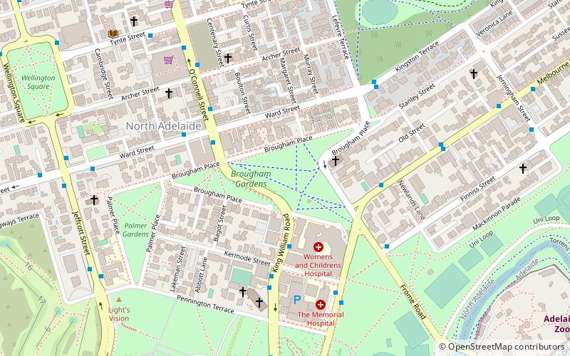
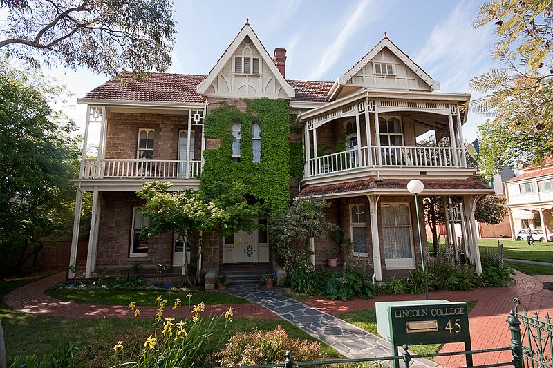
Brougham Place is a street lined with large mansions set in landscaped grounds in the Adelaide suburb of North Adelaide, South Australia. It surrounds Brougham Gardens, that joins the three grids that comprise North Adelaide. It was named after Henry Brougham, 1st Baron Brougham and Vaux. He was a staunch supporter of the 1832 Reform Act and the passing of this Act led to the third and successful attempt to found a colony in SA in 1834. ()
Elevation: 161 ft a.s.l.Coordinates: 34°54'35"S, 138°35'56"E
Day trips
Brougham Place – popular in the area (distance from the attraction)
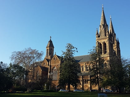
Nearby attractions include: Adelaide Oval, Adelaide Zoo, Montefiore Hill, St Peter's Cathedral.
Frequently Asked Questions (FAQ)
Which popular attractions are close to Brougham Place?
Nearby attractions include Brougham Place Uniting Church, Adelaide (3 min walk), Koala Farm, Adelaide (5 min walk), Friends Meeting House, Adelaide (6 min walk), St Peter's Cathedral, Adelaide (6 min walk).
How to get to Brougham Place by public transport?
The nearest stations to Brougham Place:
Bus
Train
Tram
Bus
- Stop 3 O Connell Street - West side • Lines: 224, 224F, 224X (4 min walk)
- Stop 2 King William Road - West side • Lines: 224, 224F, 224X (5 min walk)
Train
- Adelaide (20 min walk)
- North Adelaide (26 min walk)
Tram
- Adelaide Railway Station Tram Stop (22 min walk)
- Art Gallery (22 min walk)


