Mowbray Park, Brisbane

Gallery (2)
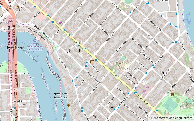
Map

Map
Gallery
Facts and practical information
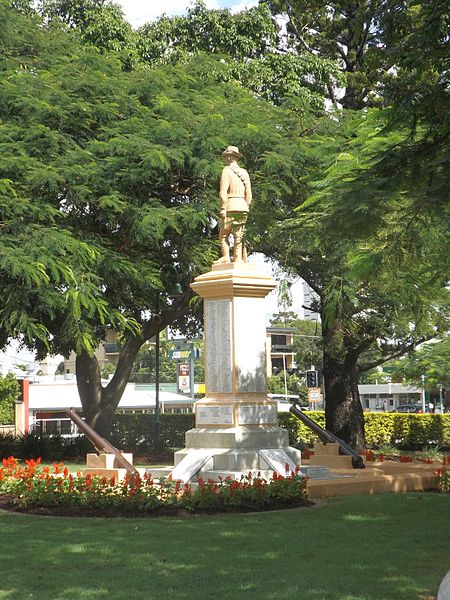
Mowbray Park and East Brisbane War Memorial are a heritage-listed park and monument within the park on Lytton Road, East Brisbane, Queensland, Australia. It was built from 1904 to 1974. It is also known as East Brisbane War Memorial and Riversdale. It was added to the Queensland Heritage Register on 21 October 1992. ()
Built: 1904 (122 years ago)Elevation: 39 ft a.s.l.Coordinates: 27°28'43"S, 153°2'38"E
Getting there by public transportation
Public transportation stops near this location
- Bus
- Train
- Ferry
 Bus
Bus
- Calculate routeMowbray Park Ferry Terminal 3 min walk
- Calculate routeSydney Street Ferry Terminal 8 min walk
- Calculate routeDockside Ferry Terminal 14 min walk
- Calculate routeNew Farm Park Ferry Terminal 18 min walk
- Calculate routeStanley Street at Jurgens Street stop F 19 min walk
- Calculate routeJurgens Street at Woolloongabba stop C 19 min walk
- Calculate routeWoolloongabba station, platform 2 20 min walk
- Calculate routeWoolloongabba Station 20 min walk
- Calculate routeCoorparoo 27 min walk
- Calculate routeNorman Park 30 min walk
- Calculate routePark Road 34 min walk
- Calculate routeCentral 37 min walk
Day trips


Frequently Asked Questions (FAQ)
Which popular attractions are close to Mowbray Park?
Nearby attractions include Glenfalloch Apartments, Brisbane (8 min walk), Mowbraytown Presbyterian Church, Brisbane (9 min walk), Raymond Park, Brisbane (9 min walk), Raymond Park, Brisbane (9 min walk).
How to get to Mowbray Park by public transport?
The nearest stations to Mowbray Park:
Ferry
Bus
Train
Ferry
- Mowbray Park Ferry Terminal • Lines: Uqsl-1410 (3 min walk)
- Sydney Street Ferry Terminal • Lines: Chop-400, Uqsl-1410 (8 min walk)
Bus
- Stanley Street at Jurgens Street stop F • Lines: 204 (19 min walk)
- Jurgens Street at Woolloongabba stop C • Lines: 204 (19 min walk)
Train
- Coorparoo (27 min walk)
- Norman Park (30 min walk)