Bunyip State Park
Map

Map

Facts and practical information
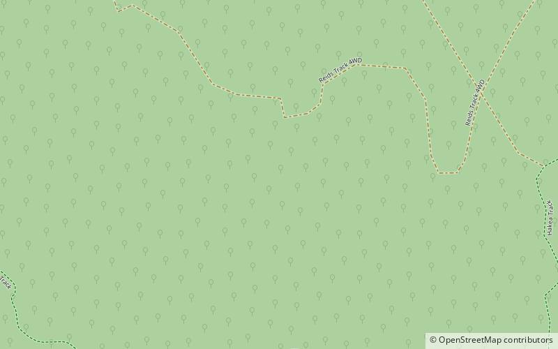
Bunyip State Park is a 166-square-kilometre state park 65 kilometres east of Melbourne, near the town of Gembrook, in the southern slopes of the Great Dividing Range within the Australian state of Victoria. ()
Established: 1992 (34 years ago)Area: 63.94 mi²Elevation: 627 ft a.s.l.Coordinates: 37°58'13"S, 145°41'35"E
