Federation Peak, South West National Park
Map

Gallery

Facts and practical information
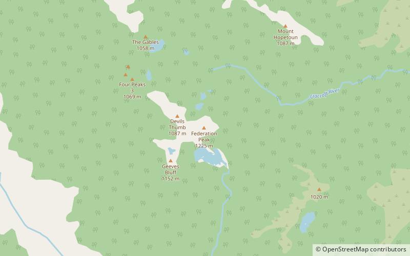
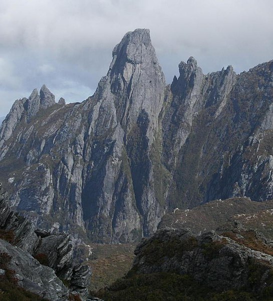
Federation Peak is a Tasmanian mountain with a sharp spire-like shape, which marks the end of the Eastern Arthur Range in the Southwest National Park. The peak, approximately 90 kilometres south-west from Hobart, was named after the Federation of Australia. ()
Alternative names: First ascent: 1949Elevation: 4016 ftProminence: 1969 ftCoordinates: 43°16'17"S, 146°28'34"E
Address
South West National Park
ContactAdd
Social media
Add
Day trips
Federation Peak – popular in the area (distance from the attraction)
Nearby attractions include: Arthur Range.

