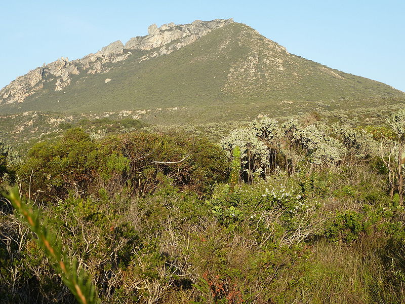
East Mount Barren, Fitzgerald River National Park
Map

Gallery

Facts and practical information
East Mount Barren is a quartzite peak of the Barren Range in Fitzgerald River National Park. It was sighted and named by explorer Matthew Flinders on 6 January 1802, together with two other peaks in the range, West Mount Barren and Middle Mount Barren. All were named because of their barren appearance. A walking track ascends 200 metres in height to the summit which has views of the coast from the Doubtful Islands to Mason Point as well as 50 kilometres inland. ()
Elevation: 1020 ftCoordinates: 33°55'22"S, 120°1'23"E
Address
Fitzgerald River National Park
ContactAdd
Social media
Add
