Whites Hill, Brisbane
Map

Map

Facts and practical information
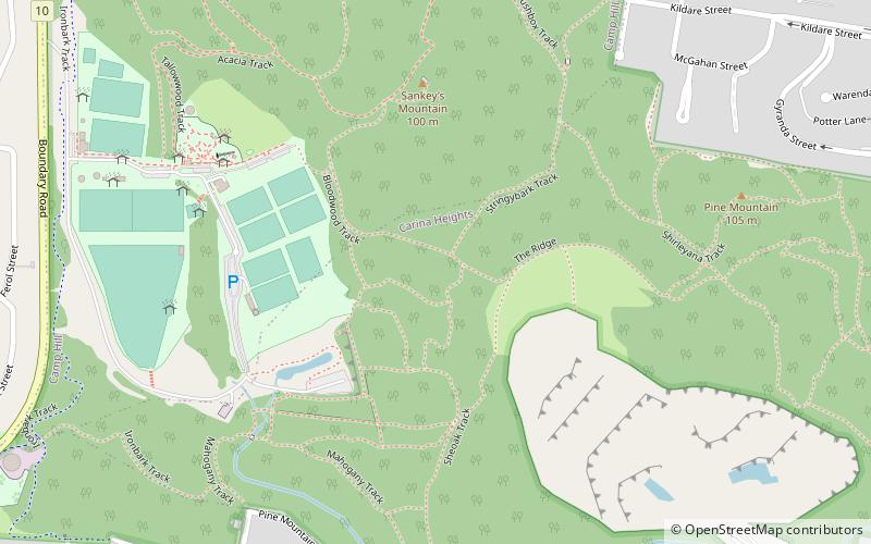
Whites Hill is a hill in the suburb of Camp Hill, City of Brisbane, Queensland, Australia. Surrounding the hill is Whites Hill Reserve, a public reserve occupying the south of the suburbs of Camp HIll and Carina Heights. The reserve covers an area of over 170 hectares. The reserve offering many sporting and recreational facilities. Whites Hill lies within the catchment area of Bulimba Creek. ()
Elevation: 259 ft a.s.l.Coordinates: 27°30'39"S, 153°4'59"E
Day trips
Whites Hill – popular in the area (distance from the attraction)
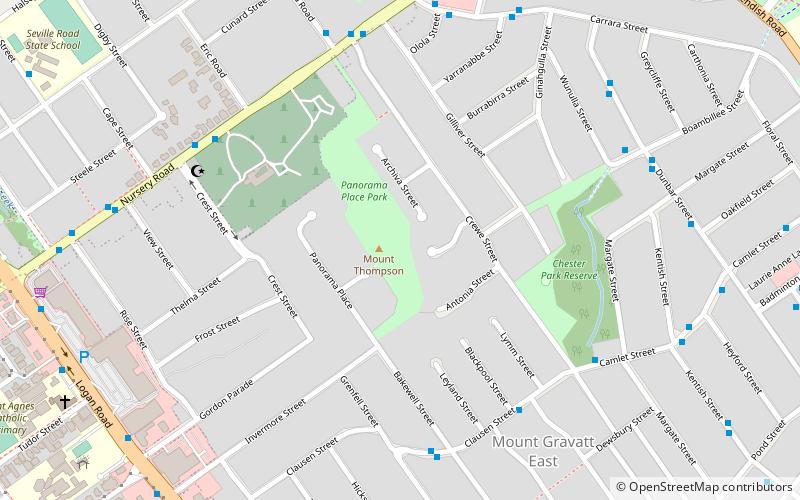
Nearby attractions include: Westfield Carindale, Mount Thompson crematorium, Mount Thompson, Camp Hill.
Frequently Asked Questions (FAQ)
How to get to Whites Hill by public transport?
The nearest stations to Whites Hill:
Bus
Bus
- Winstanley Street at Willard Street stop 46 • Lines: 204, P205 (20 min walk)
- Samuel St at Samuel Street Shops, stop 4 • Lines: P205 (21 min walk)


