Cedar Bay National Park

Gallery (1)
Map
Map
Facts and practical information
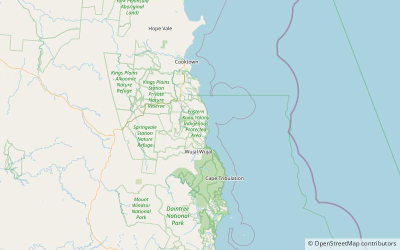
Cedar Bay was a 56.5 km2 national park in the Shire of Cook, Queensland, Australia. In 2015, it became part of the Mangkalba section of the Ngalba Bulal National Park. ()
Cedar Bay was a 56.5 km2 national park in the Shire of Cook, Queensland, Australia. In 2015, it became part of the Mangkalba section of the Ngalba Bulal National Park. ()
Where to next? Visit ![]() Queensland region page or discover the top tourist attractions in Australia.
Queensland region page or discover the top tourist attractions in Australia.