Surface Hill Uniting Church, Gympie
Map

Gallery

Facts and practical information
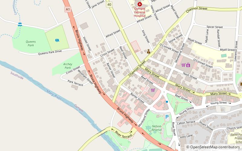
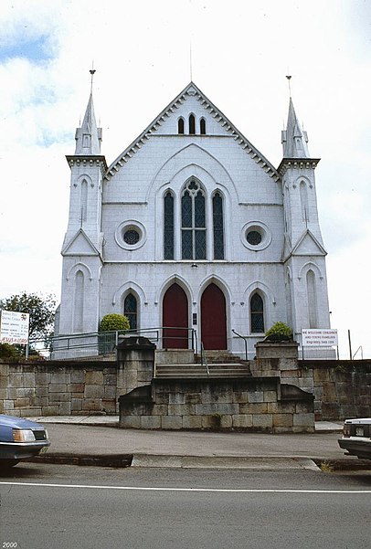
Surface Hill Uniting Church is a heritage-listed former church at Channon Street, Surface Hill, Gympie, Gympie Region, Queensland, Australia. It was designed by architect Hugo William Du Rietz and built from 1869 to 1937. It is also known as City Church, Surface Hill Methodist Church and Wesleyan/Wesley Church. It was added to the Queensland Heritage Register on 30 May 2003. ()
Coordinates: 26°11'20"S, 152°39'25"E
Address
Gympie
ContactAdd
Social media
Add
Day trips
Surface Hill Uniting Church – popular in the area (distance from the attraction)
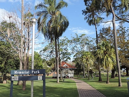
Nearby attractions include: Gympie Memorial Park, Gympie Cemetery, Gympie and Widgee War Memorial Gates, Gympie Town Hall.
Frequently Asked Questions (FAQ)
Which popular attractions are close to Surface Hill Uniting Church?
Nearby attractions include Gympie Stock Exchange, Gympie (3 min walk), Gympie and Widgee War Memorial Gates, Gympie (7 min walk), Gympie Memorial Park, Gympie (8 min walk), Gympie Town Hall, Gympie (15 min walk).
How to get to Surface Hill Uniting Church by public transport?
The nearest stations to Surface Hill Uniting Church:
Train
Train
- Gympie (23 min walk)


