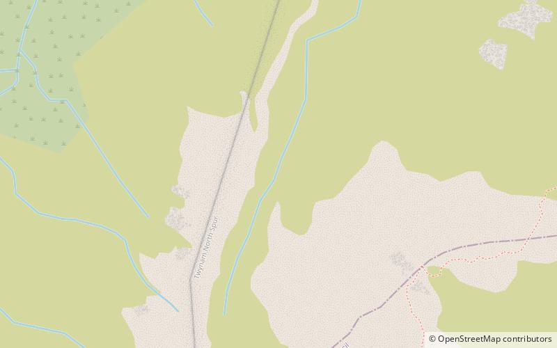
Ramshead Range, Kosciuszko National Park
Map

Map

Facts and practical information
The Ramshead Range, a mountain range that is part of the Snowy Mountains, is located in the Monaro region of New South Wales and the Alpine region of Victoria, Australia. ()
Maximum elevation: 7146 ftElevation: 7146 ftCoordinates: 36°22'60"S, 148°19'1"E
Address
Kosciuszko National Park
ContactAdd
Social media
Add
Day trips
Ramshead Range – popular in the area (distance from the attraction)
Nearby attractions include: Perisher Valley, Mount Kosciuszko, Blue Cow Mountain, Guthega Power Station.


