Hart's Mill, Adelaide
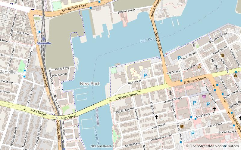
Map

Map

Facts and practical information
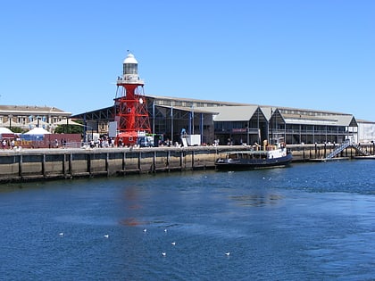
Hart's Mill is a former flour mill complex located on a bend in the Port River, in the north-western corner of Port Adelaide, South Australia. Now partially restored, it has become the suburb's cultural hub. ()
Height: 48 ftFloors: 5Coordinates: 34°50'39"S, 138°29'56"E
Day trips
Hart's Mill – popular in the area (distance from the attraction)
Nearby attractions include: Fort Glanville Conservation Park, National Railway Museum, Port Adelaide Lighthouse, South Australian Maritime Museum.
Frequently Asked Questions (FAQ)
Which popular attractions are close to Hart's Mill?
Nearby attractions include Birkenhead Bridge, Port Adelaide (5 min walk), Jervois Bridge, Adelaide (5 min walk), Fishermen's Wharf Market, Adelaide (7 min walk), Port Adelaide Lighthouse, Port Adelaide (9 min walk).
How to get to Hart's Mill by public transport?
The nearest stations to Hart's Mill:
Train
Train
- Glanville (9 min walk)
- Ethelton (10 min walk)


