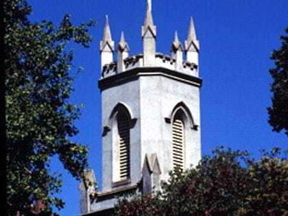
St Peter's, Melbourne
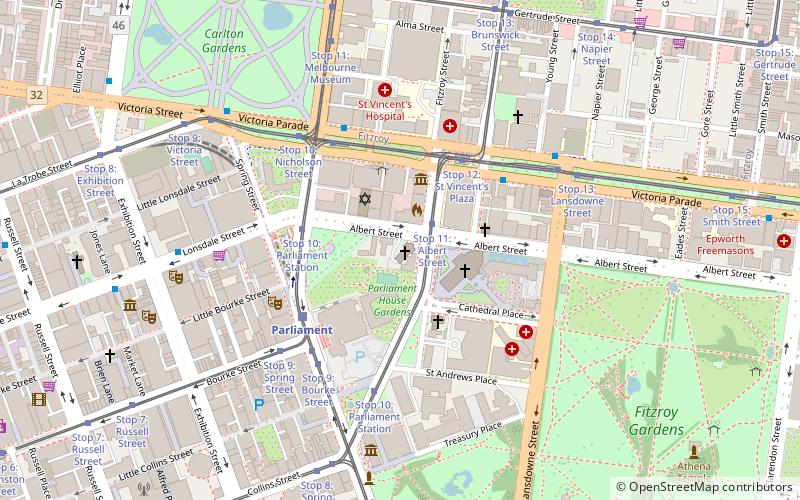
Map
Map

Facts and practical information
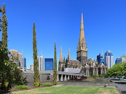
St Peter's, Eastern Hill is the Anglican parish church of the City of Melbourne, Victoria, Australia. The parish is in the Anglican Diocese of Melbourne and dates from 1847. The letters patent of Queen Victoria declaring the city status of Melbourne were read on the steps of St Peter's in 1848. The parish is well known as belonging to the Anglo-Catholic tradition. ()
Coordinates: 37°48'35"S, 144°58'30"E
Address
15 Gisborne StCity of Melbourne (East Melbourne)Melbourne 3000
Contact
Social media
Add
Day trips
St Peter's – popular in the area (distance from the attraction)
Nearby attractions include: Collins Place, St Patrick's Cathedral, Fitzroy Gardens, Lutheran Trinity Church.
Frequently Asked Questions (FAQ)
Which popular attractions are close to St Peter's?
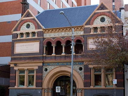
Nearby attractions include St Patrick's Cathedral, Melbourne (2 min walk), St Patrick’s Cathedral, Melbourne (2 min walk), Victorian Artists Society, Melbourne (2 min walk), Melbourne City Synagogue, Melbourne (2 min walk).
How to get to St Peter's by public transport?
The nearest stations to St Peter's:
Tram
Train
Bus
Tram
- Stop 11: Albert Street • Lines: 109, 109d, 11, 12, 12d (2 min walk)
- Stop 10: Parliament Station • Lines: 35, 86, 86a, 86d, 96, 96d (3 min walk)
Train
- Parliament (4 min walk)
- Jolimont (18 min walk)
Bus
- Eye & Ear Hospital/Victoria Parade • Lines: 303, 350 (4 min walk)
- St Vincent's Hospital/Victoria Parade • Lines: 303, 350, 402 (5 min walk)
 Melbourne Trams
 Victoria Trains
