Lake Terang

Map
Facts and practical information
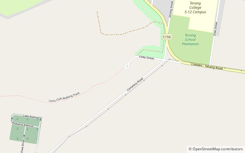
Lake Terang was a lake near Terang, Victoria. Following European settlement of the area surrounding the lake in the 19th century the lake began to dry out. It was drained in the 1960s and is now used as a recreation area, for agriculture and as part of the Terang Golf Course. ()
Elevation: 472 ft a.s.l.Coordinates: 38°15'0"S, 142°55'1"E
Location
Victoria
ContactAdd
Social media
Add
Day trips
Lake Terang – popular in the area (distance from the attraction)
Nearby attractions include: Mount Noorat, Terang.

