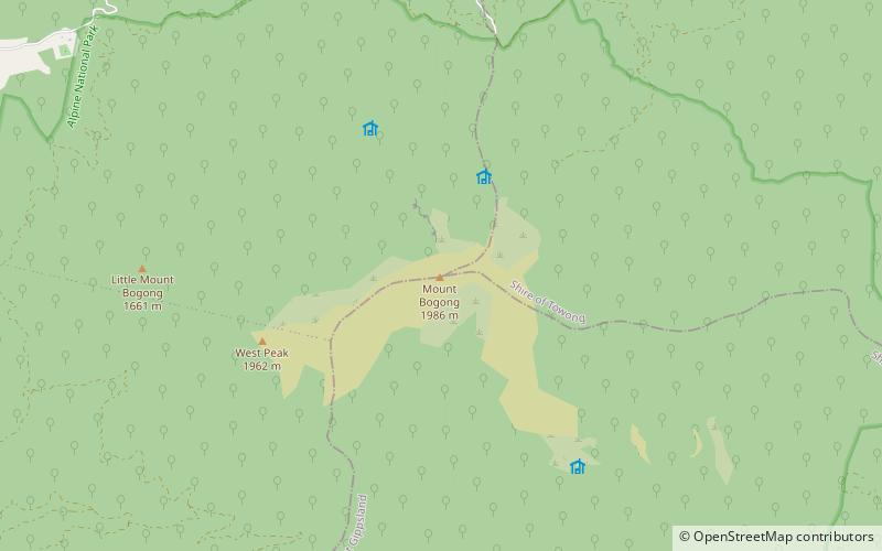
Victorian Alps, Alpine National Park
Map

Map

Facts and practical information
The Victorian Alps, also known locally as the High Country, is a large mountain system in the southeastern Australian state of Victoria. Occupying the majority of eastern Victoria, it is the southwestern half of the Australian Alps, the tallest portion of the Great Dividing Range. The Yarra and Dandenong Ranges, both sources of rivers and drinking waters for Melbourne, are branches of the Victorian Alps. ()
Alternative names: Area: 2007.34 mi²Maximum elevation: 656168 ftElevation: 6516 ftCoordinates: 36°43'56"S, 147°18'22"E
Address
Alpine National Park
ContactAdd
Social media
Add
Day trips
Victorian Alps – popular in the area (distance from the attraction)
Nearby attractions include: Mount Bogong.

