Cronulla Beach, Sydney
Map
Gallery
Facts and practical information
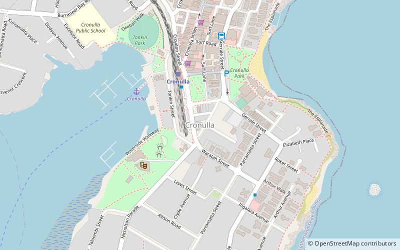
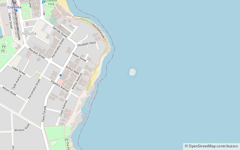
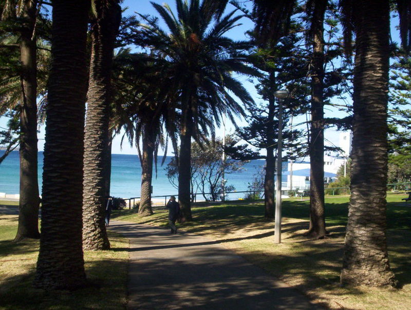
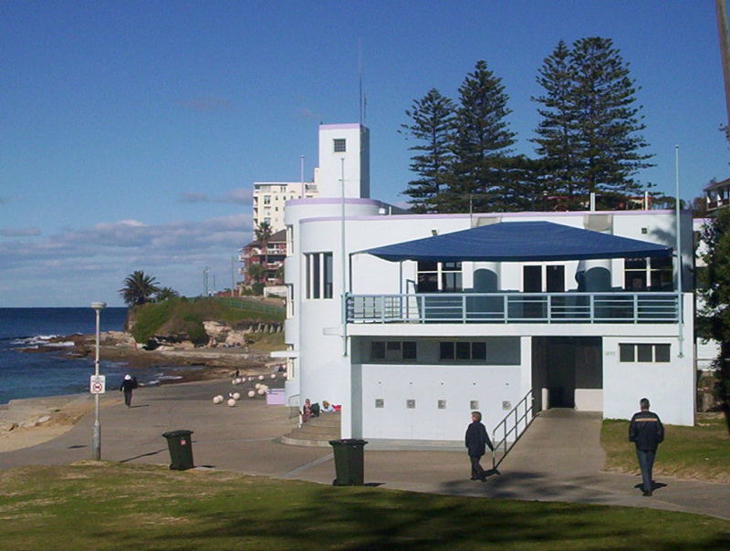
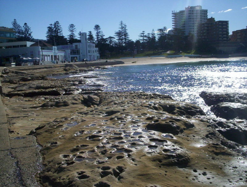
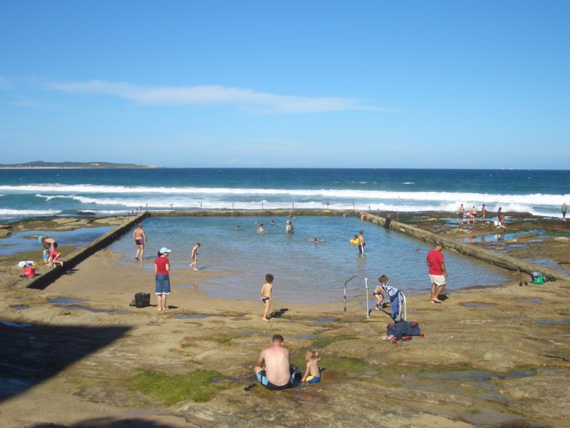
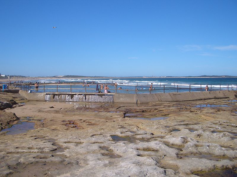
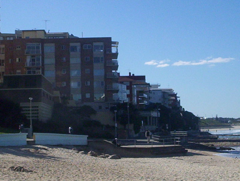
Cronulla Beach, is a patrolled beach on Bate Bay, in Cronulla, New South Wales, Australia. The Cronulla Pavilion and the Cronulla Lifesaving Club are two prominent buildings located close to the sand. Cronulla Park sits behind the beach. The Cronulla Rock Pools are between Cronulla Beach and North Cronulla beach. The Alley is the local name given to the area between Cronulla Beach and North Cronulla Beach. Shark Island is a dangerous reef break, located off Cronulla Beach. ()
Coordinates: 34°3'19"S, 151°9'18"E
Day trips
Cronulla Beach – popular in the area (distance from the attraction)
Nearby attractions include: Cronulla Fisheries Centre, Sharkies Leagues Club, North Cronulla Beach, Elouera Beach.
Frequently Asked Questions (FAQ)
Which popular attractions are close to Cronulla Beach?
Nearby attractions include Sydney/Cronulla, Sydney (6 min walk), North Cronulla Beach, Sydney (8 min walk), Shark Island, Sydney (11 min walk), Elouera Beach, Sydney (17 min walk).
How to get to Cronulla Beach by public transport?
The nearest stations to Cronulla Beach:
Train
Train
- Cronulla (6 min walk)
- Woolooware (21 min walk)



 Sydney Trains
 Sydney Light Rail
 Sydney Ferries