Mount King William, Franklin-Gordon Wild Rivers National Park

Gallery (1)
Map
Map
Facts and practical information
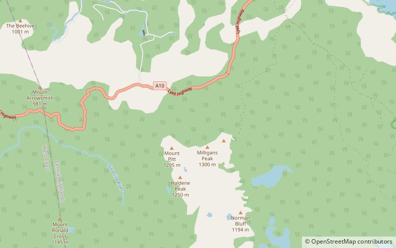
Mount King William I is a mountain adjacent to the Lyell Highway in Central Highlands, Tasmania. It is located 10 km southwest of Derwent Bridge. It is the northernmost of the King William Range. ()
Coordinates: 42°13'12"S, 146°7'48"E
Address
Franklin-Gordon Wild Rivers National Park
ContactAdd
Social media
Add
Day trips
Mount King William – popular in the area (distance from the attraction)
Nearby attractions include: King William Range.
