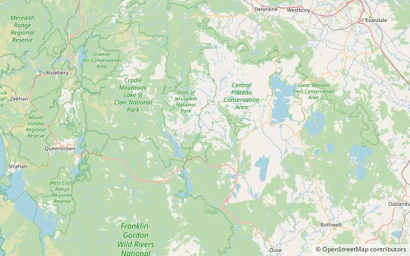
Lake Edgar, Tasmanian Wilderness World Heritage Area

Map
Facts and practical information
Lake Edgar was a natural fault scarp pond on the upper reaches of the Huon River in South West Tasmania. ()
Maximum depth: 10 ftElevation: 997 ft a.s.l.Coordinates: 42°0'0"S, 146°19'59"E
Address
Tasmanian Wilderness World Heritage Area
ContactAdd
Social media
Add