Fullarton Park Community Centre, Adelaide
Map
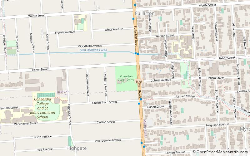
Map

Facts and practical information
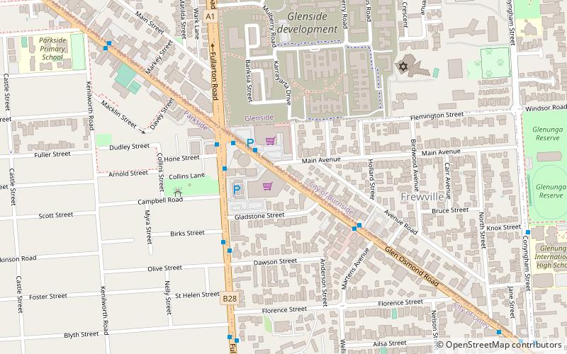
Fullarton Park Community Centre (address: 411 Fullarton Road) is a place located in Adelaide (South Australia state) and belongs to the category of relax in park, park.
It is situated at an altitude of 279 feet, and its geographical coordinates are 34°57'28"S latitude and 138°37'30"E longitude.
Among other places and attractions worth visiting in the area are: Urrbrae Wetland (neighbourhood, 16 min walk), Bluethumb Art Gallery (museum, 19 min walk), Urrbrae (area, 22 min walk).
Elevation: 279 ft a.s.l.Coordinates: 34°57'28"S, 138°37'30"E
Day trips
Fullarton Park Community Centre – popular in the area (distance from the attraction)
Nearby attractions include: Burnside Village, Mitcham Square Shopping Centre, Australian Dance Theatre, Unley Museum.
Frequently Asked Questions (FAQ)
Which popular attractions are close to Fullarton Park Community Centre?
Nearby attractions include Urrbrae Wetland, Adelaide (16 min walk), Bluethumb Art Gallery, Adelaide (19 min walk), Urrbrae, Adelaide (22 min walk), Benacre, Adelaide (24 min walk).


