Macquarie Culvert, Sydney
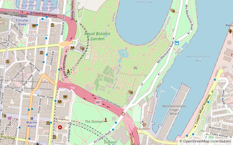
Map
Gallery

Facts and practical information
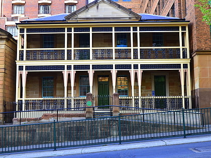
The Macquarie Culvert is a double brick culvert under the original Mrs Macquarie's Road in the Royal Botanic Gardens in Sydney, Australia. The culvert was probably built at the same time as the original road, between 1813 and 1816, making it almost certainly the oldest bridge in Australia. ()
Coordinates: 33°51'54"S, 151°13'1"E
Address
Central Business District (Royal Botanic Gardens)Sydney
ContactAdd
Social media
Add
Day trips
Macquarie Culvert – popular in the area (distance from the attraction)
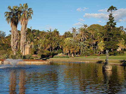
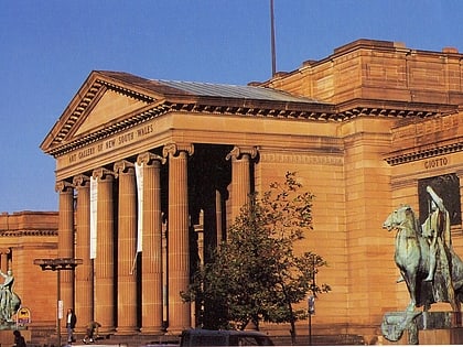
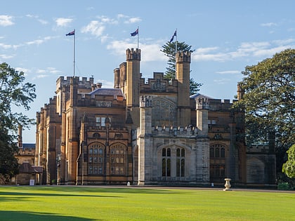
Nearby attractions include: Royal Botanic Garden, Art Gallery of New South Wales, Government House, Andrew Charlton Pool.
Frequently Asked Questions (FAQ)
Which popular attractions are close to Macquarie Culvert?
Nearby attractions include Royal Botanic Garden, Sydney (3 min walk), Veil of Trees, Sydney (5 min walk), Sydney Conservatorium of Music, Sydney (6 min walk), The Domain, Sydney (7 min walk).
How to get to Macquarie Culvert by public transport?
The nearest stations to Macquarie Culvert:
Bus
Train
Ferry
Light rail
Bus
- Royal Botanic Gardens • Lines: 200 (7 min walk)
- Andrew Boy Charlton Pool (8 min walk)
Train
- Martin Place (11 min walk)
- Circular Quay (12 min walk)
Ferry
- Circular Quay Wharf 2 • Lines: F2, F7 (11 min walk)
- Circular Quay Wharf 3 • Lines: F1 (12 min walk)
Light rail
- Circular Quay • Lines: L2, L3 (12 min walk)
- Bridge Street • Lines: L2, L3 (15 min walk)

 Sydney Trains
 Sydney Light Rail
 Sydney Ferries