Davies Creek National Park
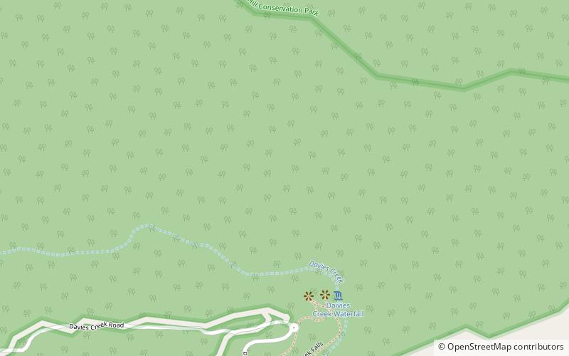
Map

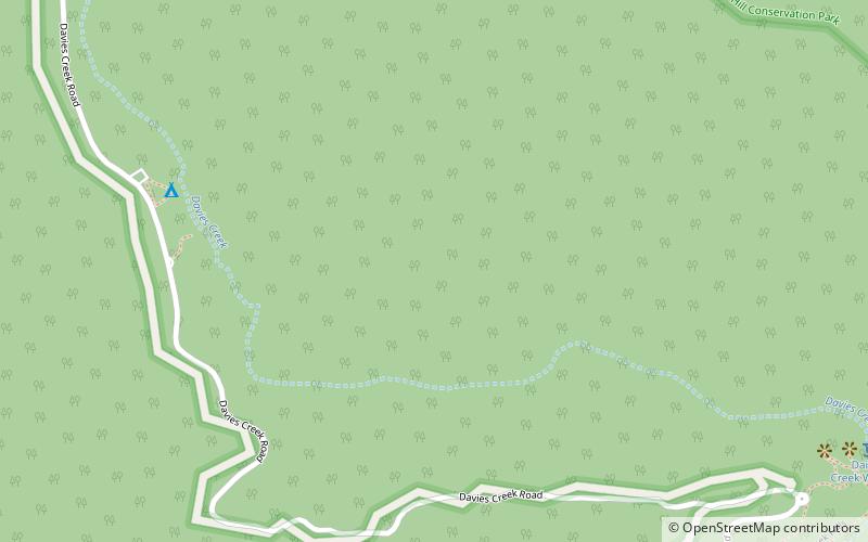
Map

Facts and practical information
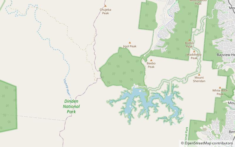
Davies Creek National Park is in Far North Queensland, Australia, 1,392 km northwest of Brisbane, 20 km south west of Cairns. The park is located on the Atherton Tableland within the Barron River water catchment. It lies within the Einasleigh Uplands and Wet Tropics of Queensland bioregions. ()
Day trips
Davies Creek National Park – popular in the area (distance from the attraction)
Nearby attractions include: Davies Creek Falls, Milmilgee Falls.


