Kings Tableland, Blue Mountains National Park
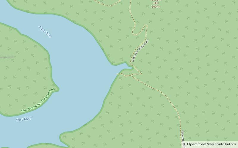
Map
Gallery
Facts and practical information
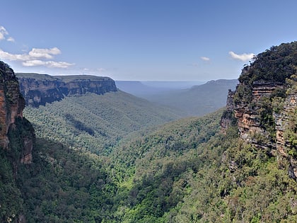
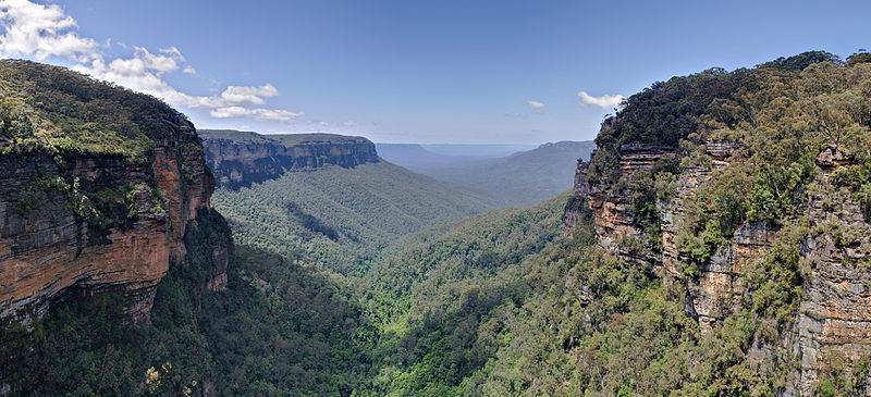
The Kings Tableland is a plateau, located in the Blue Mountains in Wollondilly Shire, New South Wales, Australia. The ridge is an eroded remnant of a sandstone layer that is approximately 1,000 metres AMSL, situated immediately south of Wentworth Falls. The Tableland is the major southerly spur of the main spine of the Blue Mountains Range and forms the beginning of the Southern Escarpment, an unbroken series of tall sandstone cliffs which fringes the Jamison, Megalong, Kanimbla and Hartley Valleys. ()
Elevation: 3281 ftCoordinates: 33°49'0"S, 150°23'60"E
Address
Blue Mountains National Park
ContactAdd
Social media
Add
Day trips
Kings Tableland – popular in the area (distance from the attraction)
Nearby attractions include: Three Sisters, Mount Solitary, Coxs River track.
