Lake St Clair, Tasmanian Wilderness World Heritage Area

Gallery (1)
Map
Map
Facts and practical information
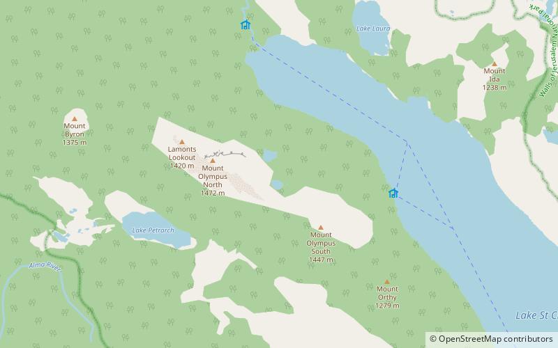
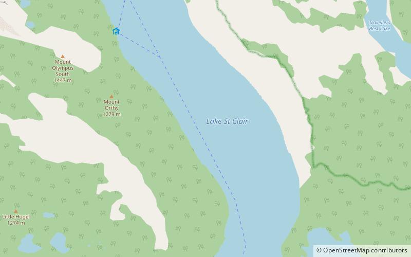
Lake St Clair or leeawulenna is a natural freshwater lake located in the Central Highlands area of Tasmania, Australia. The lake forms the southern end of the Cradle Mountain-Lake St Clair National Park. It has an area of approximately 45 square kilometres, and a maximum depth of 215 metres, making it Australia's deepest lake. ()
Alternative names: Area: 11.2 mi²Length: 9.32 miWidth: 9843 ftMaximum depth: 558 ftElevation: 2421 ft a.s.l.Coordinates: 42°4'3"S, 146°10'5"E
Address
Tasmanian Wilderness World Heritage Area
ContactAdd
Social media
Add
Day trips