Blue Gum High Forest, Sydney
Map

Map

Facts and practical information
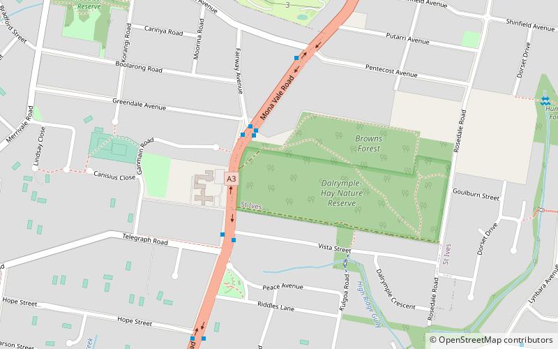
The Blue Gum High Forest of the Sydney Basin Bioregion is one of six main indigenous forest communities of Sydney, New South Wales, Australia. It has been classified as critically endangered, under the New South Wales government's Threatened Species Conservation Act 1995. The principal canopy trees in this forest community are Sydney blue gum and blackbutt which are usually seen between 20 and 40 metres tall. 180 species of indigenous plants have been identified at Dalrymple-Hay Nature Reserve. ()
Coordinates: 33°44'12"S, 151°9'14"E
Address
Ku-ring-gai (St Ives)Sydney
ContactAdd
Social media
Add
Day trips
Blue Gum High Forest – popular in the area (distance from the attraction)
Nearby attractions include: St Ives Shopping Village, Ingleholme, Pymble Golf Club, North St Ives.
Frequently Asked Questions (FAQ)
How to get to Blue Gum High Forest by public transport?
The nearest stations to Blue Gum High Forest:
Train
Train
- Pymble (23 min walk)

 Sydney Trains
 Sydney Light Rail
 Sydney Ferries


