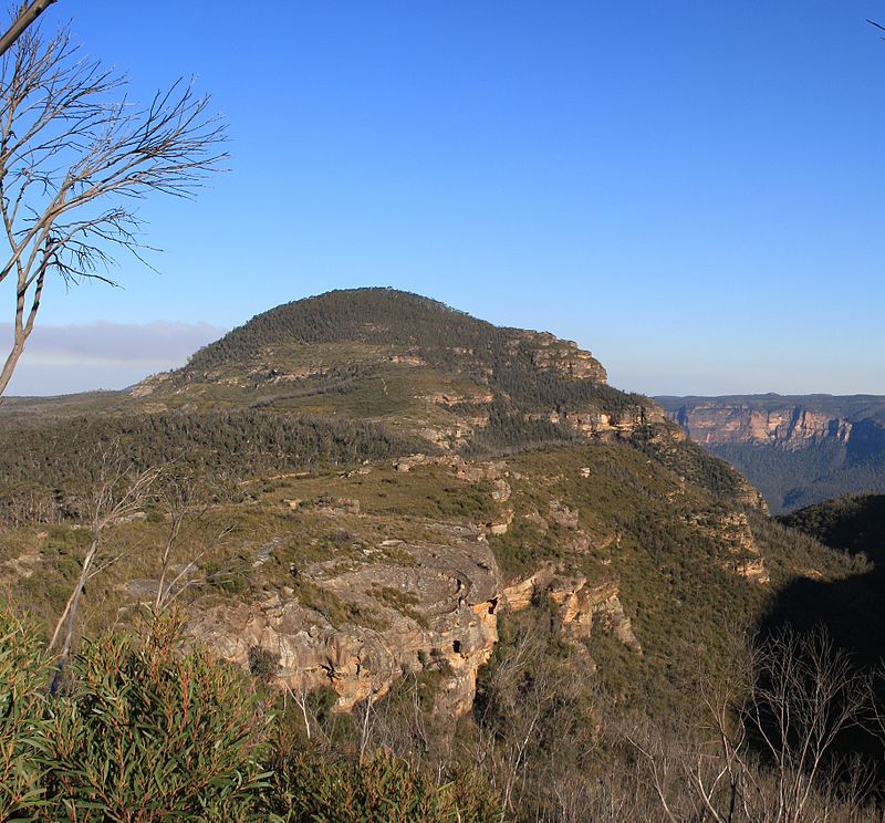
Mount Banks, Blue Mountains National Park

Gallery (2)
Map
Map
Gallery
Facts and practical information
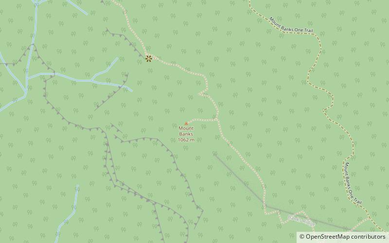
Mount Banks, a mountain within the Explorers Range of the Blue Mountains Range that is a spur off the Great Dividing Range, is located within the Blue Mountains National Park, approximately 100 kilometres west of Sydney in New South Wales, Australia. Mount Banks is located 8 kilometres from the nearest residential area, Mount Tomah, has an elevation of 1,049 metres AMSL, and can be accessed relatively easily via the Bells Line of Road. ()
Elevation: 3442 ftCoordinates: 33°35'12"S, 150°22'12"E
Address
Blue Mountains National Park
ContactAdd
Social media
Add
Day trips