Mount Kelly, Namadgi National Park

Map
Facts and practical information
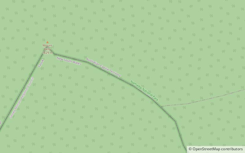
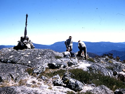
Mount Kelly is a mountain with an elevation of 1,829 metres AHD that is the tallest peak in the Scabby Range and is situated on the border of the Australian Capital Territory and New South Wales, Australia. The summit of the mountain is located within the ACT. The nearest town to the mountain is Adaminaby, approximately 32.8 kilometres to the south. ()
Elevation: 6001 ftProminence: 1604 ftCoordinates: 35°43'0"S, 148°52'59"E
Address
Namadgi National Park
ContactAdd
Social media
Add
Day trips
Mount Kelly – popular in the area (distance from the attraction)
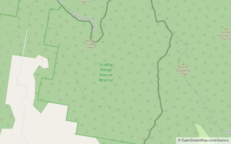
Nearby attractions include: Bimberi Peak, Scabby Range Nature Reserve.

