Puckeys Estate Reserve, Wollongong
Map

Map

Facts and practical information
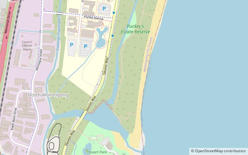
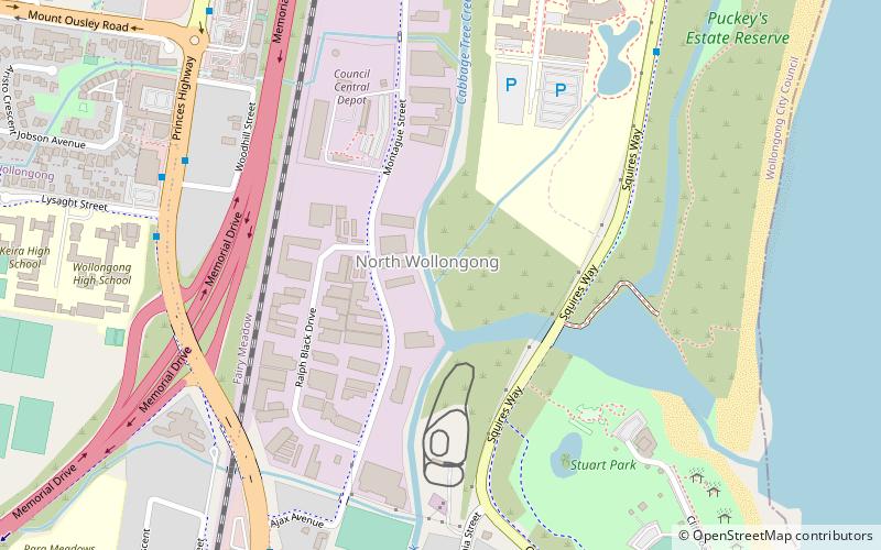
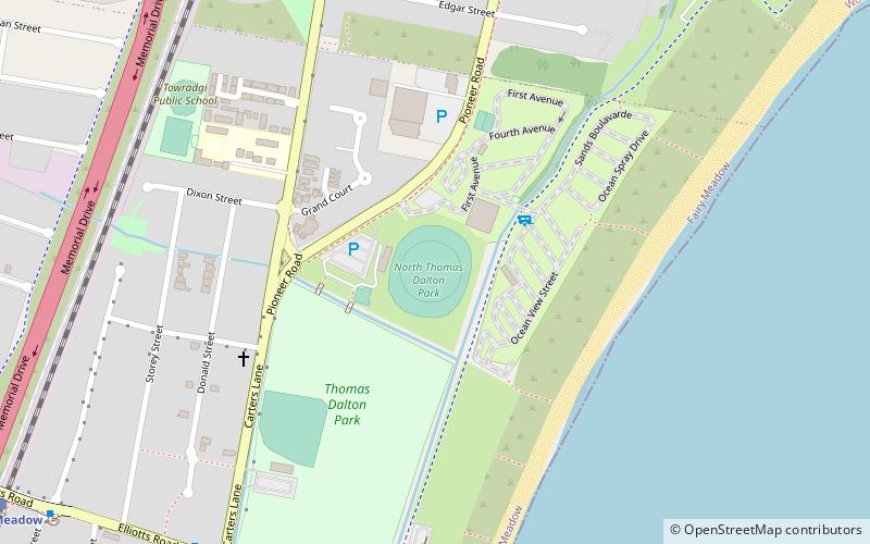
Puckey's Estate Reserve is a coastal nature reserve in North Wollongong, New South Wales, Australia. It is mainly she-oak forest, but also has sand dune and wetland areas, including areas along Para Creek. It is located in the suburb of Fairy Meadow and is bounded by Fairy Meadow Beach to the east, Squires Way to the west, Elliotts Road to the north and Fairy Lagoon to the south. ()
Coordinates: 34°24'20"S, 150°54'4"E
Address
Wollongong
ContactAdd
Social media
Add
Day trips
Puckeys Estate Reserve – popular in the area (distance from the attraction)
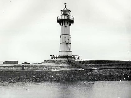
Nearby attractions include: Wollongong Head Lighthouse, Wollongong Breakwater Lighthouse, Wollongong Harbour, Flagstaff Hill Fort.
Frequently Asked Questions (FAQ)
Which popular attractions are close to Puckeys Estate Reserve?
Nearby attractions include International House, Wollongong (8 min walk), Smiths Hill Fort, Wollongong (19 min walk).
How to get to Puckeys Estate Reserve by public transport?
The nearest stations to Puckeys Estate Reserve:
Train
Train
- North Wollongong (19 min walk)
- Fairy Meadow (20 min walk)


