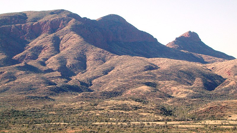
Mount Sonder, Tjoritja / West MacDonnell National Park

Gallery (2)
Map
Map
Gallery
Facts and practical information
Mount Sonder, or Rwetyepme, its Aboriginal name, is the fourth highest mountain in the Northern Territory, Australia at 1,380 metres AHD . Mount Zeil is the highest at 1,531 metres, 27 kilometres to the west. ()
Elevation: 4528 ftCoordinates: 23°34'60"S, 132°36'0"E
Address
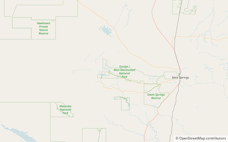
Tjoritja / West MacDonnell National Park
ContactAdd
Social media
Add