Ewens Ponds Conservation Park
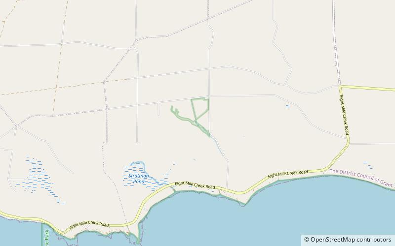
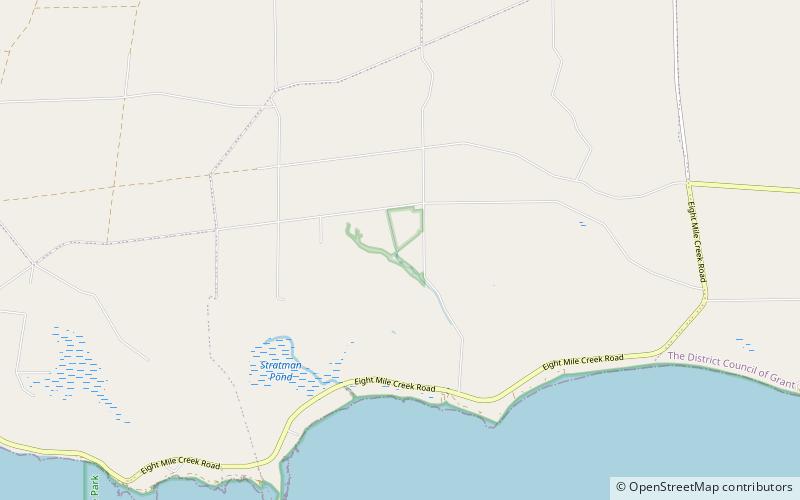
Map
Facts and practical information
Ewens Ponds Conservation Park is a protected area in the Australian state of South Australia consisting of the Ewens Ponds and some adjoining land in the gazetted locality of Eight Mile Creek about 8.4 kilometres east of Port MacDonnell in South Australia and about 25 kilometres south of Mount Gambier. The conservation park was proclaimed in 1976 under National Parks and Wildlife Act 1972. The conservation park was proclaimed for the following reasons: ()
Established: 1976 (50 years ago)Coordinates: 38°1'36"S, 140°47'28"E
Best Ways to Experience the Place
Wildlife
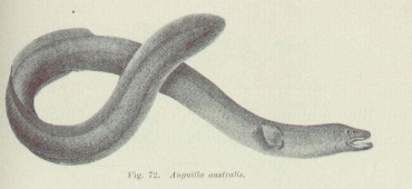
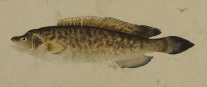
AnimalsSee what popular animal species you can meet in this location.
More
Day trips
Ewens Ponds Conservation Park – popular in the area (distance from the attraction)
Nearby attractions include: Ewens Ponds, Penambol Conservation Park.
