Ferndene State Reserve
Map

Map

Facts and practical information
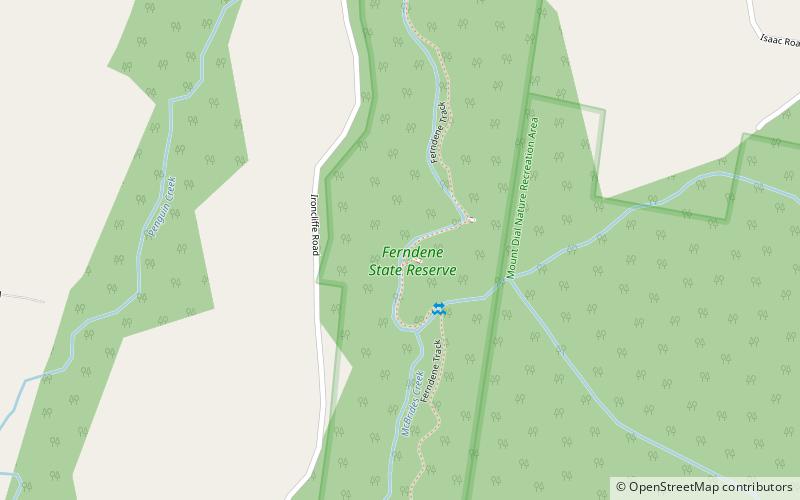
The Ferndene State Reserve is a protected area in the Dial Range of northwest Tasmania, Australia. It comprises 35.16 hectares and is managed by the Tasmania Parks and Wildlife Service. It was established on 2 August 1939 and is described by the Parks and Wildlife Service as a "scenic fern glade". ()
Established: 1939 (87 years ago)Elevation: 456 ft a.s.l.Coordinates: 41°8'55"S, 146°2'2"E
Location
Tasmania
ContactAdd
Social media
Add
Day trips
Ferndene State Reserve – popular in the area (distance from the attraction)
Nearby attractions include: Penguin General Cemetery, Dial Range.


