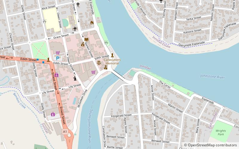
Jubilee Bridge, Innisfail

Map
Facts and practical information
The Jubilee Bridge spans the South Johnstone River connecting Innisfail and East Innisfail, Queensland, Australia. The bridge was constructed in 2011, replacing an earlier bridge built in 1923 which marked the 50th anniversary of the establishment of Innisfail. ()
Opened: 3 September 2011 (14 years ago)Width: 52 ftCoordinates: 17°31'31"S, 146°1'59"E
Address
Innisfail
ContactAdd
Social media
Add
Day trips
Jubilee Bridge – popular in the area (distance from the attraction)
Nearby attractions include: Innisfail Water Tower, Innisfail Court House, Canecutters Memorial, St Andrew's Presbyterian Memorial Church.
Frequently Asked Questions (FAQ)
Which popular attractions are close to Jubilee Bridge?
Nearby attractions include Canecutters Memorial, Innisfail (3 min walk), Innisfail Court House, Innisfail (4 min walk), Cassowary Coast Regional Council, Innisfail (7 min walk), Innisfail Water Tower, Innisfail (7 min walk).


