Anglican Diocese of Kalgoorlie, Kalgoorlie-Boulder
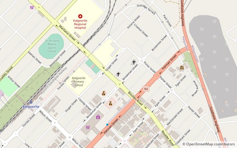
Map
Facts and practical information
The Diocese of Kalgoorlie was a diocese of the Church of England in Australia. It covered much of the Goldfields-Esperance region in Western Australia, and existed from the consecration of its first bishop in 1914 until its re-absorption back into the Anglican Diocese of Perth in 1973. At that point the Kalgoorlie diocese was reported to contain only eight parishes, and was financially unviable as a separate entity. ()
Coordinates: 30°44'40"S, 121°28'23"E
Address
75 Maritana StKalgoorlie-Boulder 6430
Contact
+61 8 9091 2966
Social media
Add
Day trips
Anglican Diocese of Kalgoorlie – popular in the area (distance from the attraction)
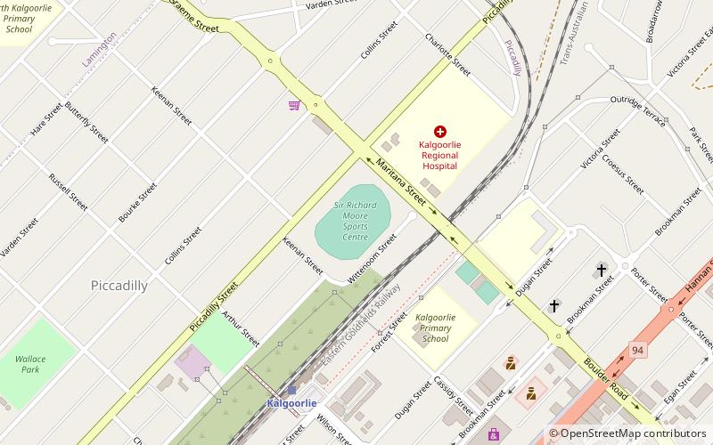
Nearby attractions include: Hannans North Tourist Mine, The Western Australian Museum — Kalgoorlie-Boulder, Goldfields Arts Centre, Sir Richard Moore Oval.
Frequently Asked Questions (FAQ)
Which popular attractions are close to Anglican Diocese of Kalgoorlie?
Nearby attractions include Moher and Smith Butchers Building, Kalgoorlie-Boulder (4 min walk), The Western Australian Museum — Kalgoorlie-Boulder, Kalgoorlie-Boulder (8 min walk), Goldfields Arts Centre, Kalgoorlie-Boulder (12 min walk).
