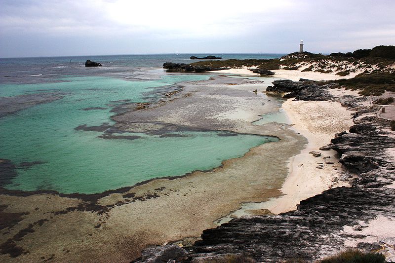
The Basin, Rottnest Island

Gallery (2)
Map
Map
Gallery
Facts and practical information
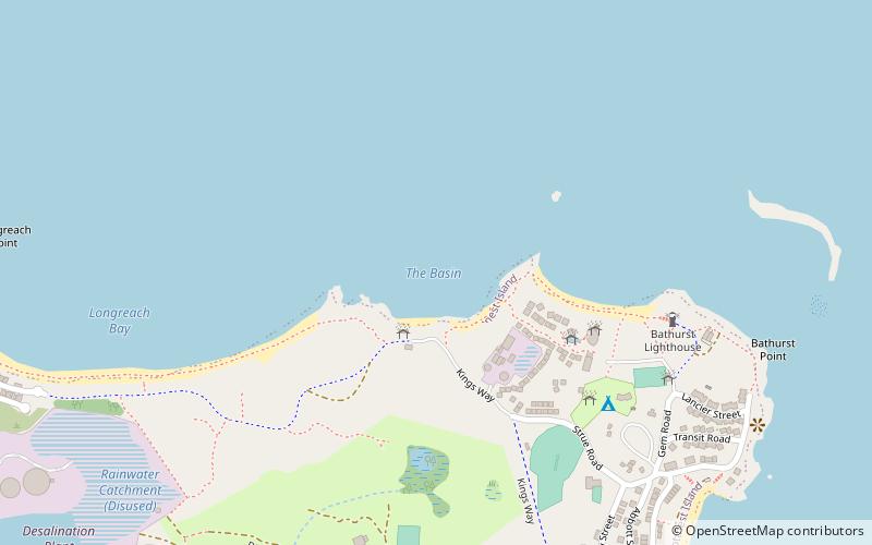
The Basin is a popular swimming location on Rottnest Island, Western Australia. It is located at 31°59′21″S 115°32′9″E, in the northwest of the island, between Pinky Beach and Longreach Bay. ()
Coordinates: 31°59'19"S, 115°32'10"E
Address
Rottnest Island
ContactAdd
Social media
Add
Day trips


