Troubridge Island, Troubridge Island Conservation Park
Map

Map

Facts and practical information
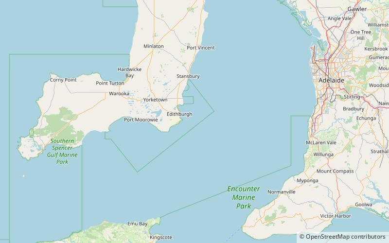
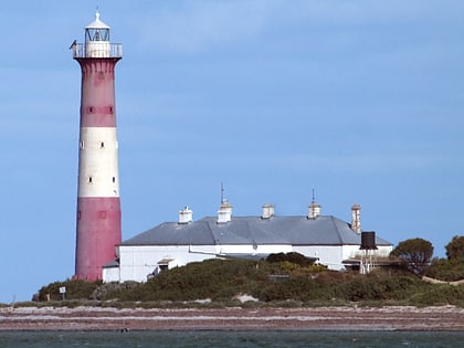
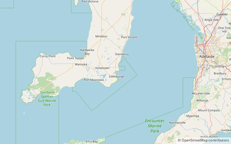
Troubridge Island is an island located in the south west corner of Gulf St Vincent in South Australia near the eastern edge of the Troubridge Shoals off the east coast of Yorke Peninsula about 8 kilometres southeast by east of the town of Edithburgh It is notable for being a site of an operating lighthouse from 1856 until 2002 and as a site for a sea bird rookery. Since 1982, the island has been part of the Troubridge Island Conservation Park. ()
Area: 4.94 acres (0.0077 mi²)Maximum elevation: 16 ftCoordinates: 35°7'8"S, 137°49'37"E
Address
Troubridge Island Conservation Park
ContactAdd
Social media
Add
Day trips
Troubridge Island – popular in the area (distance from the attraction)
Nearby attractions include: Troubridge Island Lighthouse, Edithburgh, Coobowie Aquatic Reserve.


