Tuggeranong Parkway, Canberra

Gallery (2)
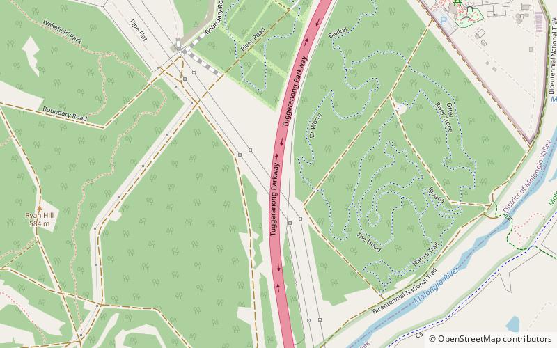
Map
Map
Gallery
Facts and practical information
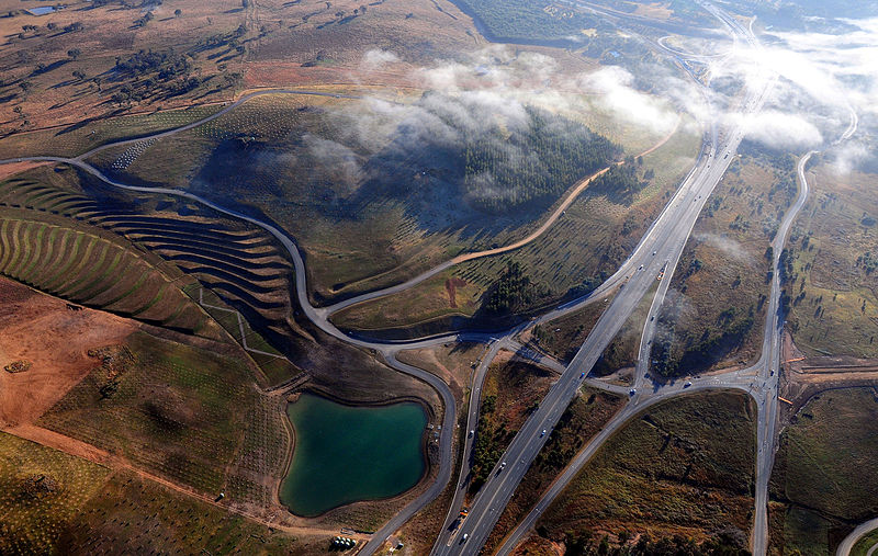
Tuggeranong Parkway is an 11-kilometre-long major highway in Canberra, Australia. Often referred to as "The Parkway" by locals, Tuggeranong Parkway links Civic to the southern Canberra metro district of Tuggeranong, and is a bypass road to the Woden Valley-Weston Creek district of Canberra. It also links to the Glenloch Interchange, where roads such as Caswell Drive connect to Belconnen. ()
Coordinates: 35°18'31"S, 149°3'43"E
Address
Canberra
ContactAdd
Social media
Add
Day trips


Frequently Asked Questions (FAQ)
Which popular attractions are close to Tuggeranong Parkway?
Nearby attractions include National Zoo & Aquarium, Canberra (14 min walk), National Zoo and Aquarium, Canberra (21 min walk), Scrivener Dam, Canberra (22 min walk).